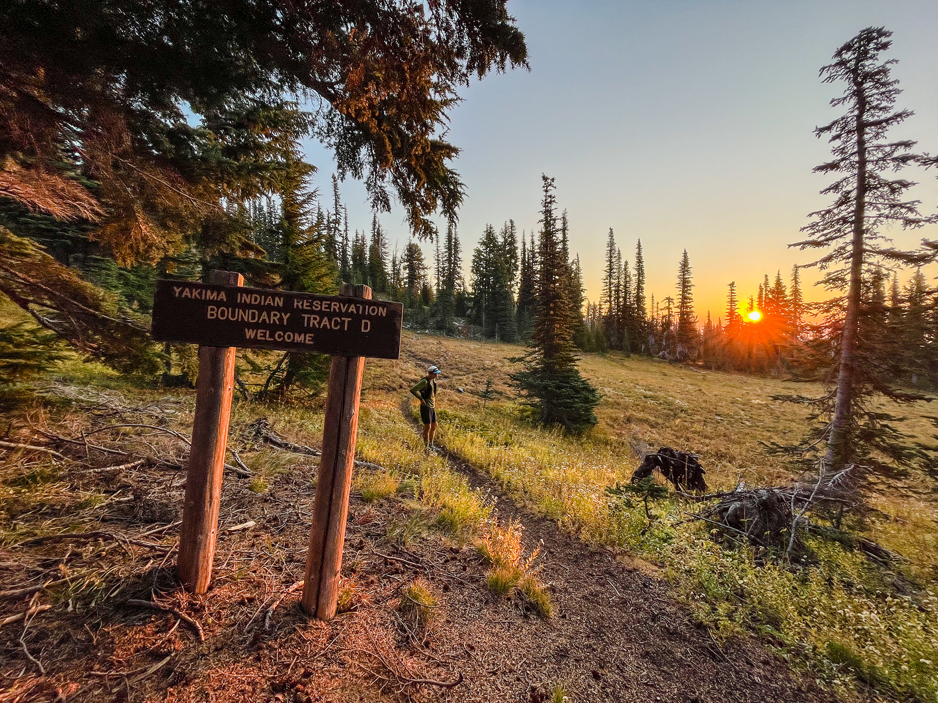
"Running plans Friday?" asked Will Rice to me in a text Monday evening. My schedule was mostly open, so I inquired what he had in mind? "It's the last weekend that the Yakima Nation is open for non natives," was his reply, "so I was thinking about trying to squeeze in an Adams circumnav."
The Columbia River Gorge along I-84 at 4am is always so serene. I have only traveled it at this hour a few times, but under such darkness and isolation it always feels more remote than it actually is. Getting from Portland to Will's house in White Salmon was swift. We carpooled the remaining miles to the mountain's southern flanks.
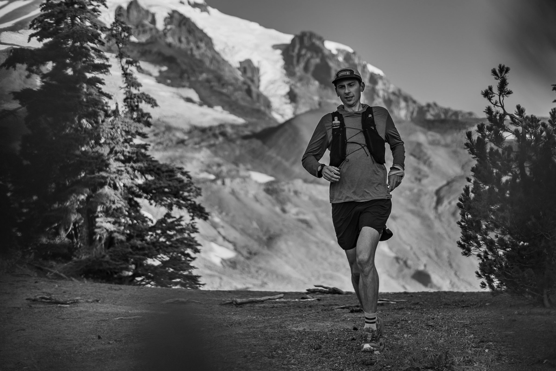
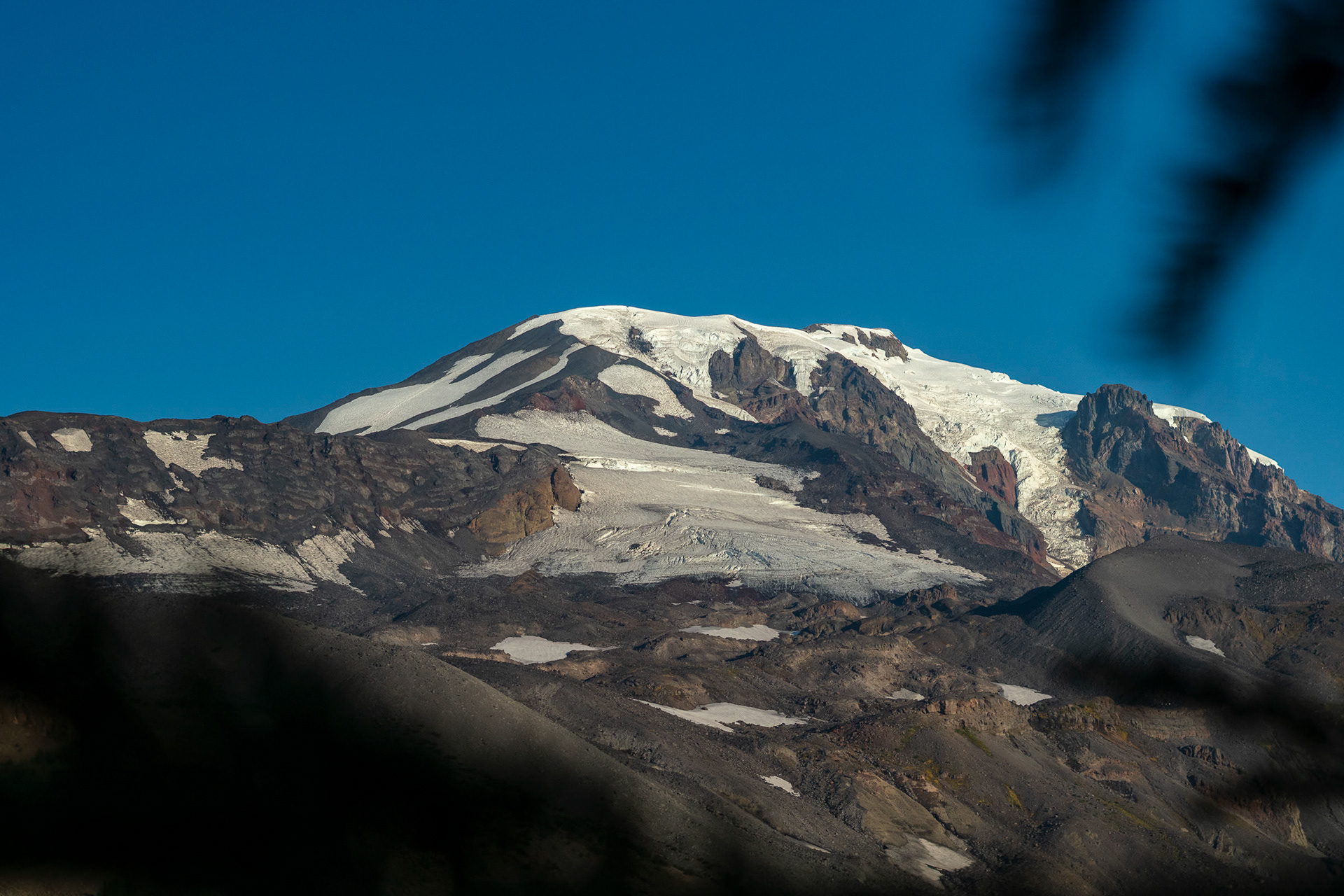
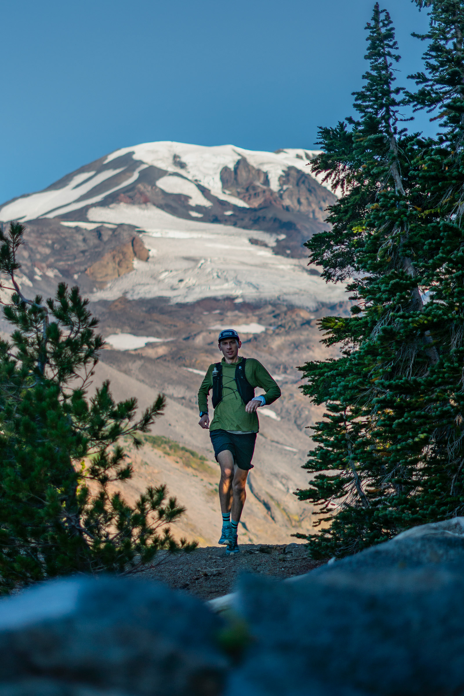
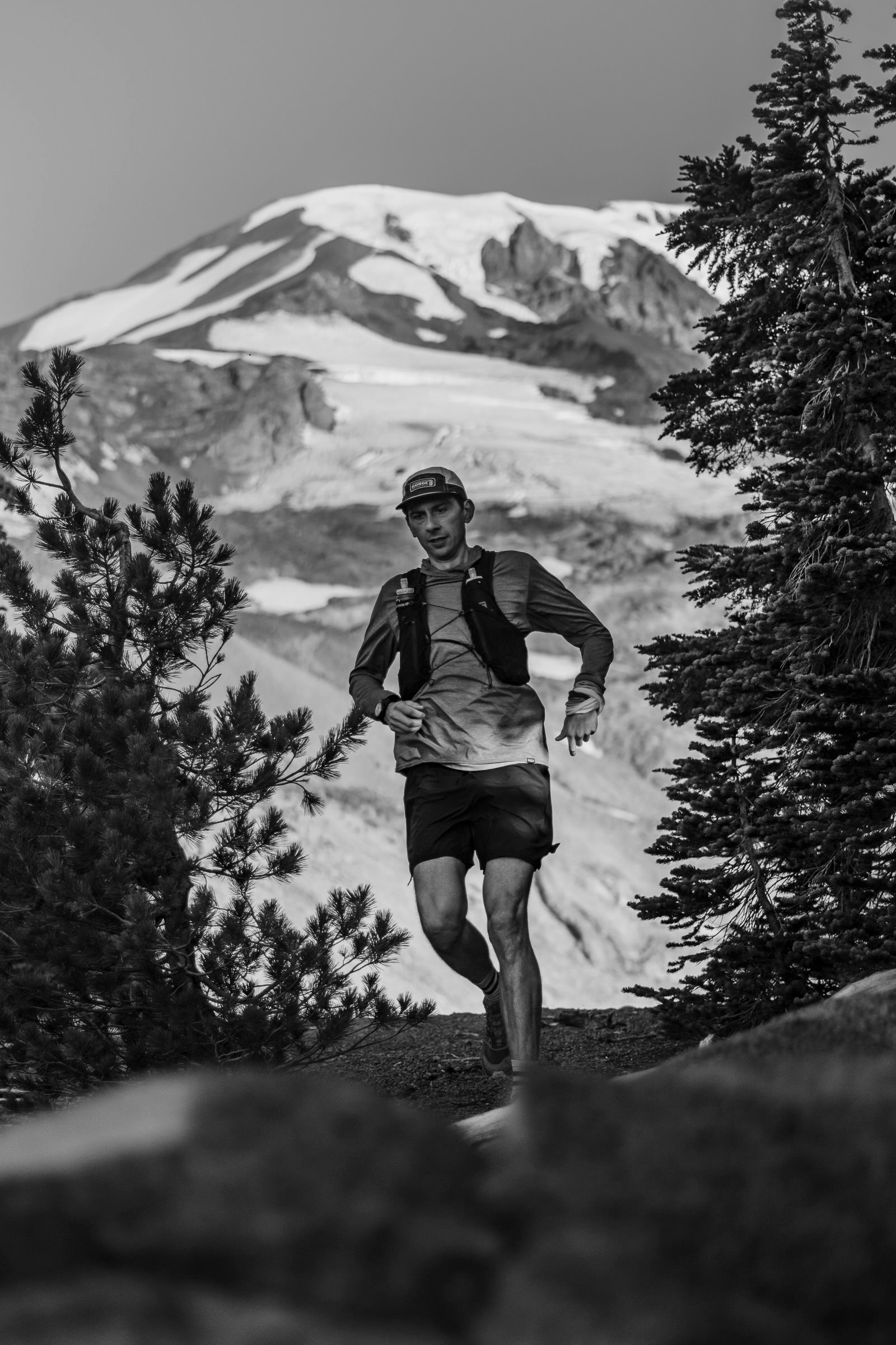
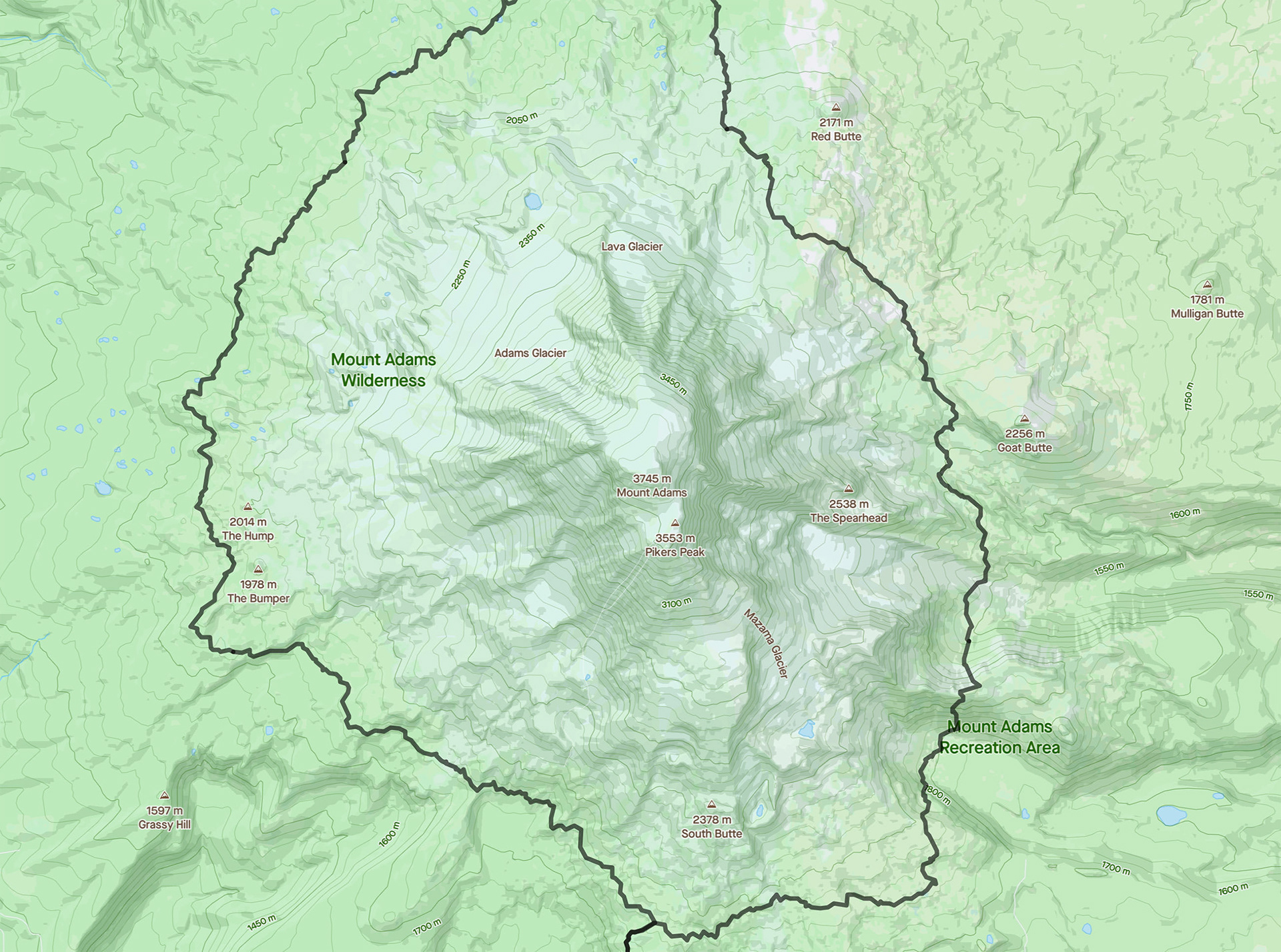
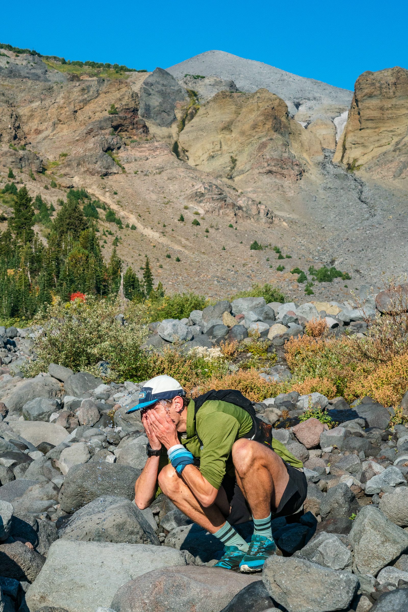
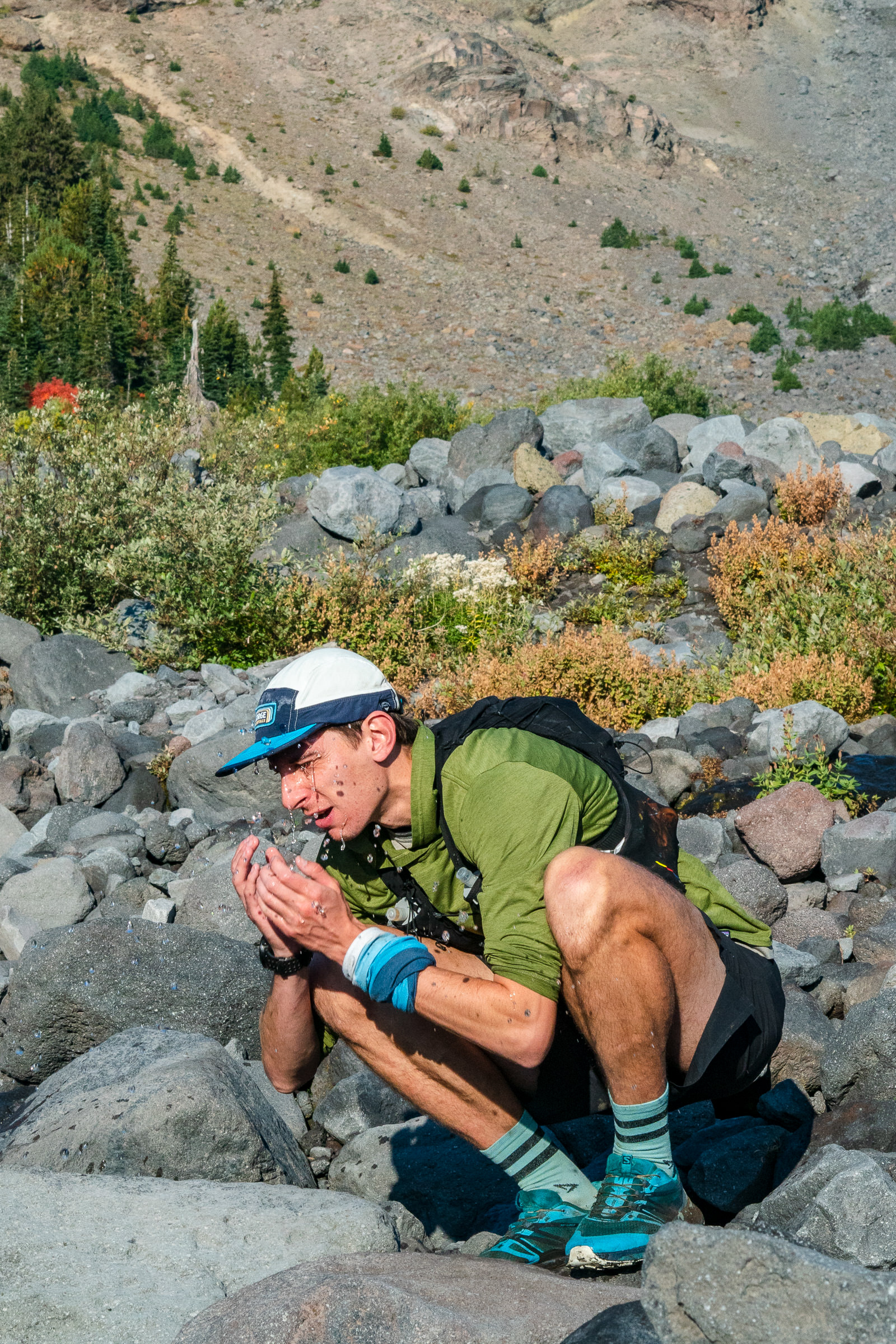
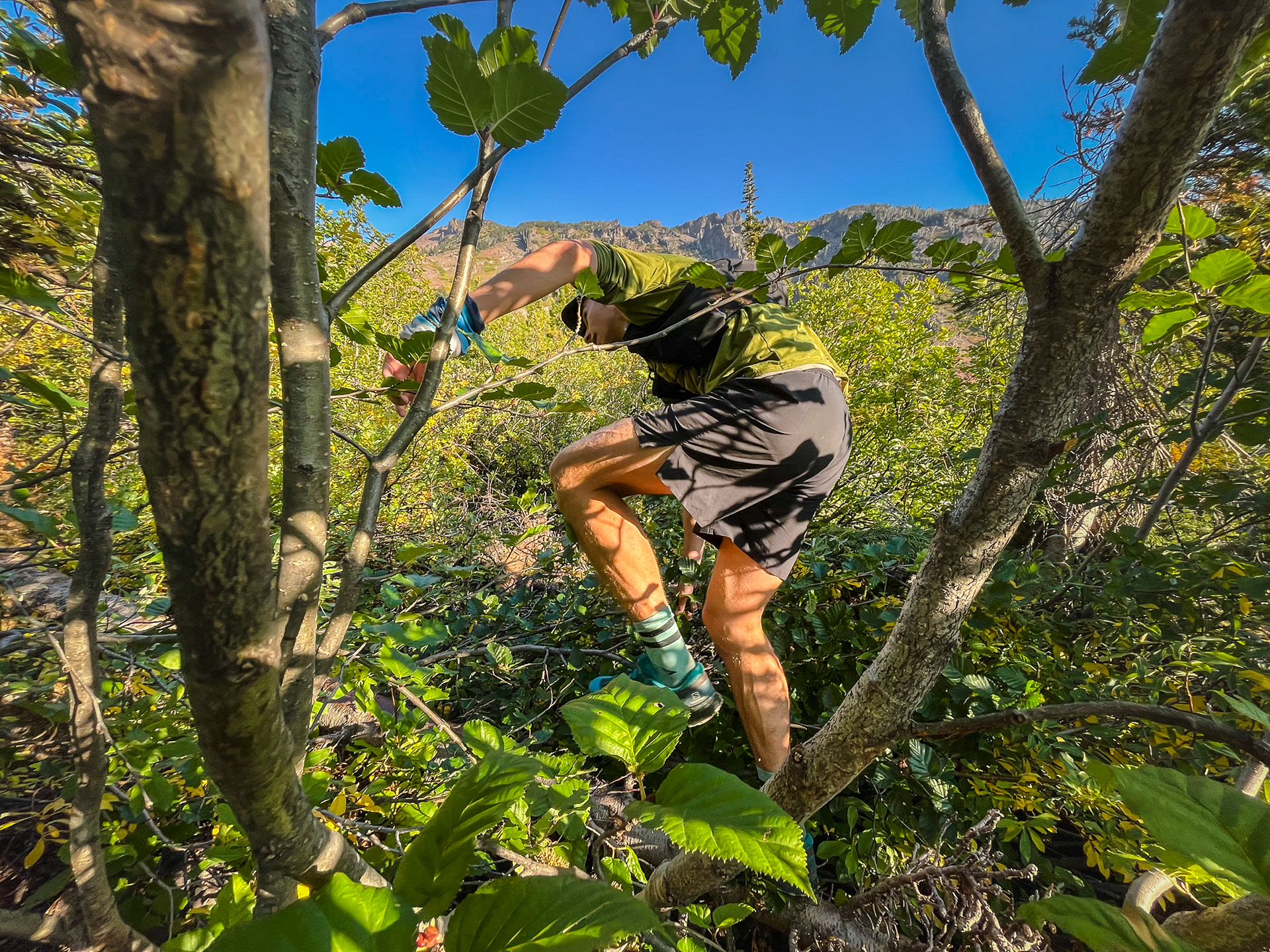
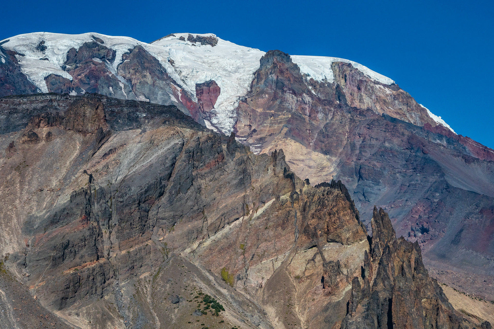
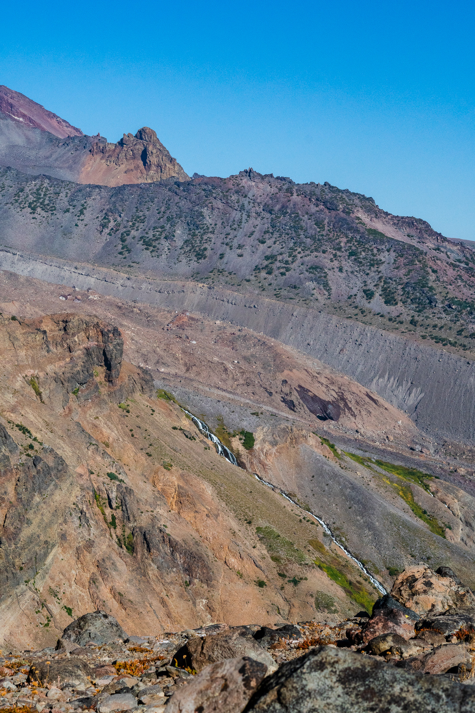
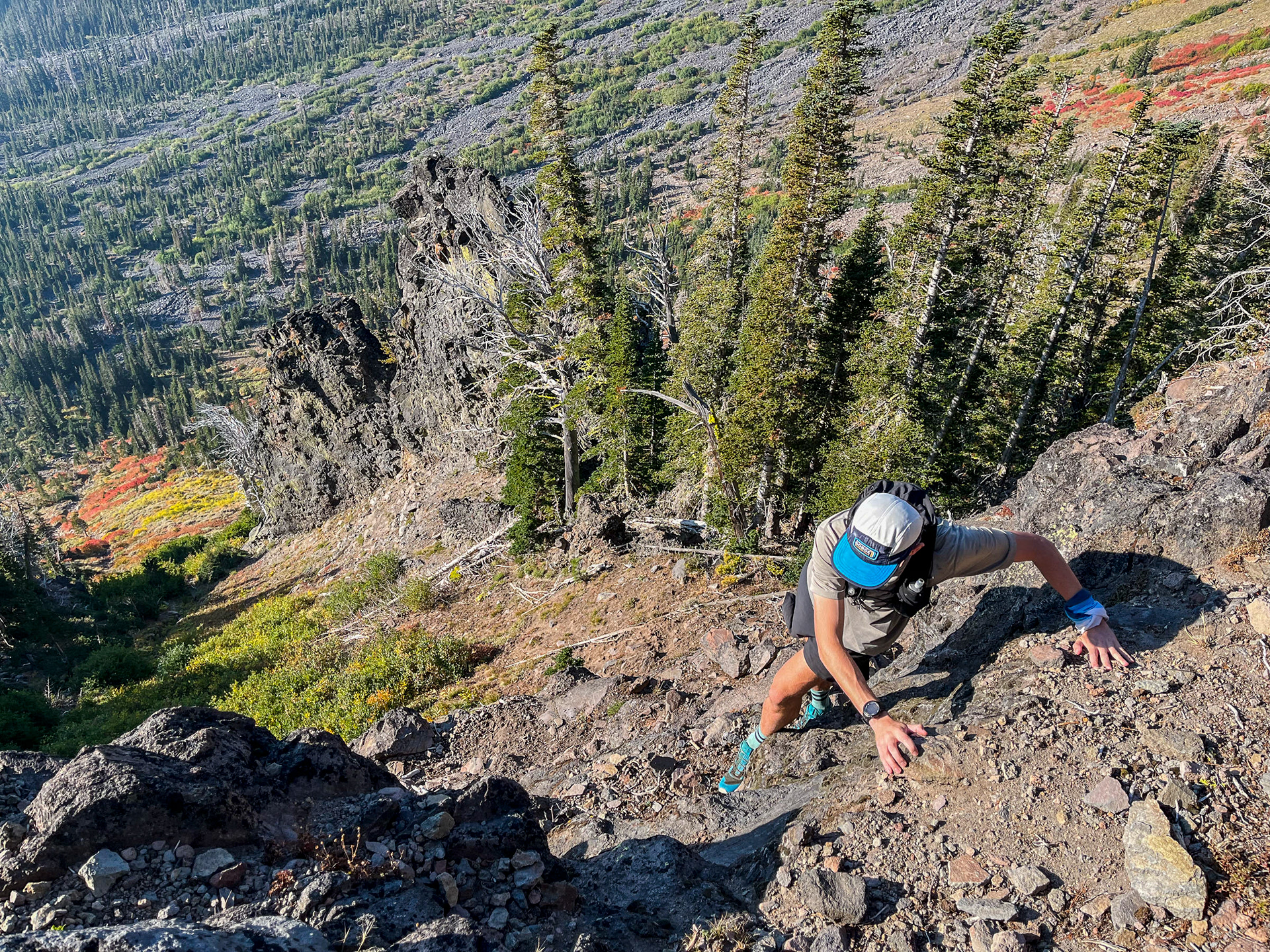
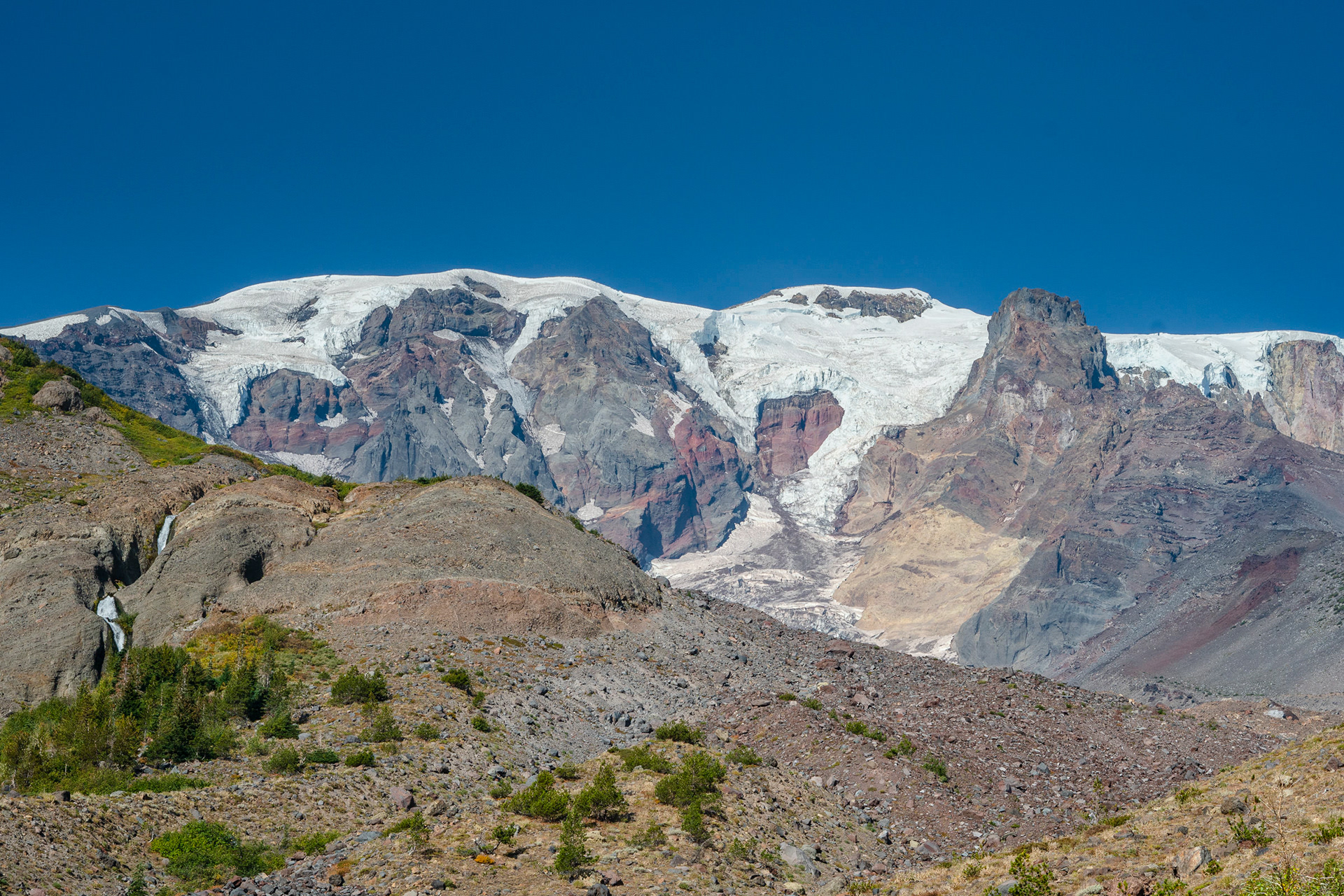
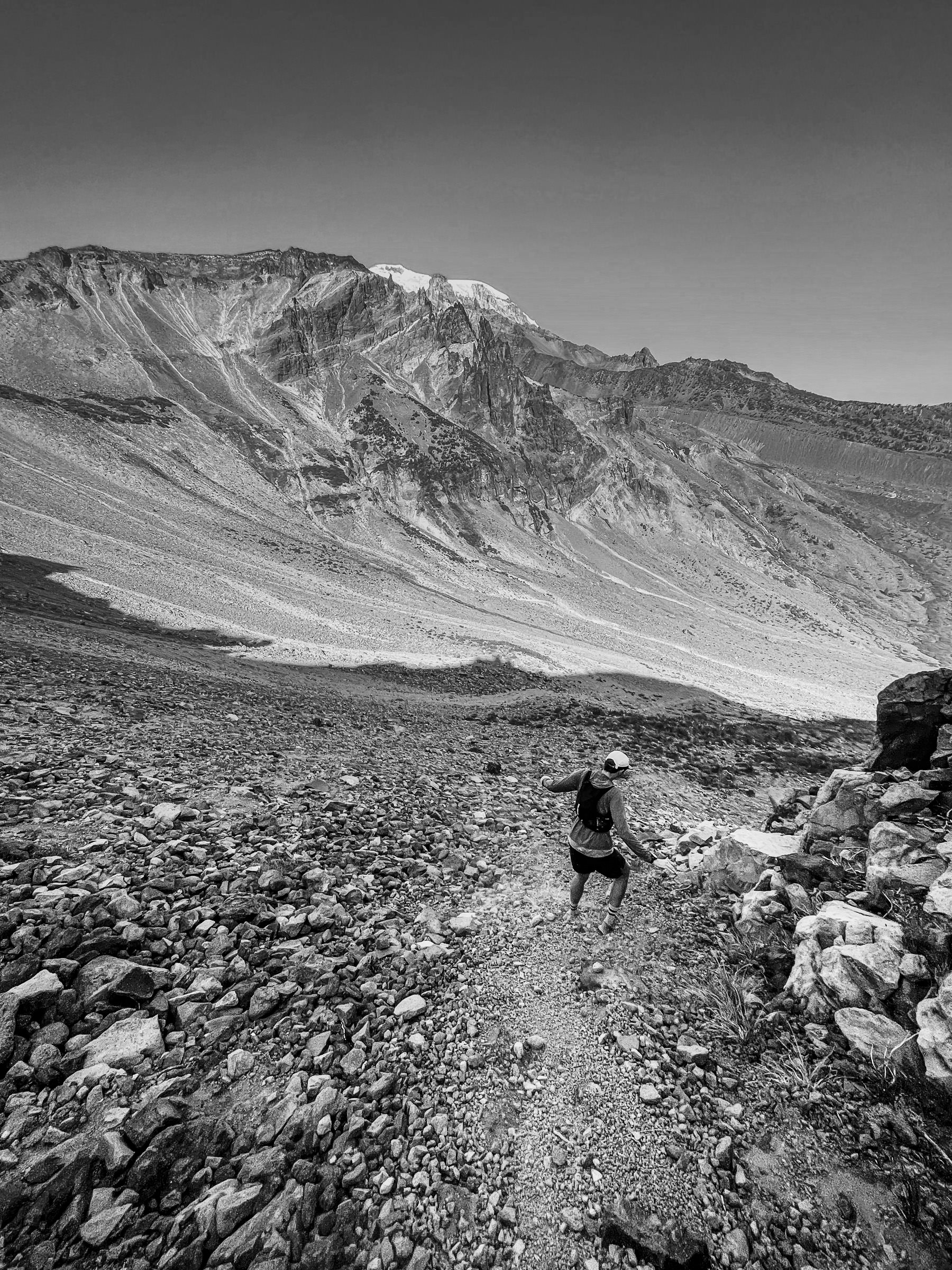
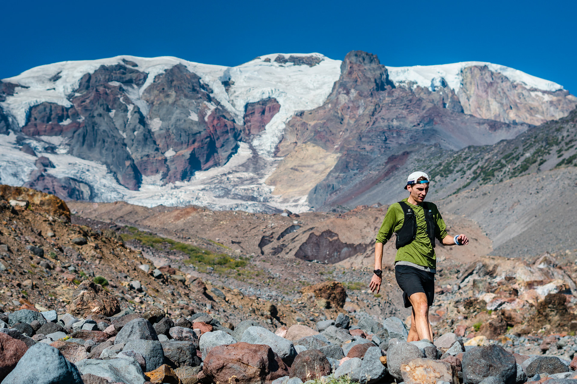
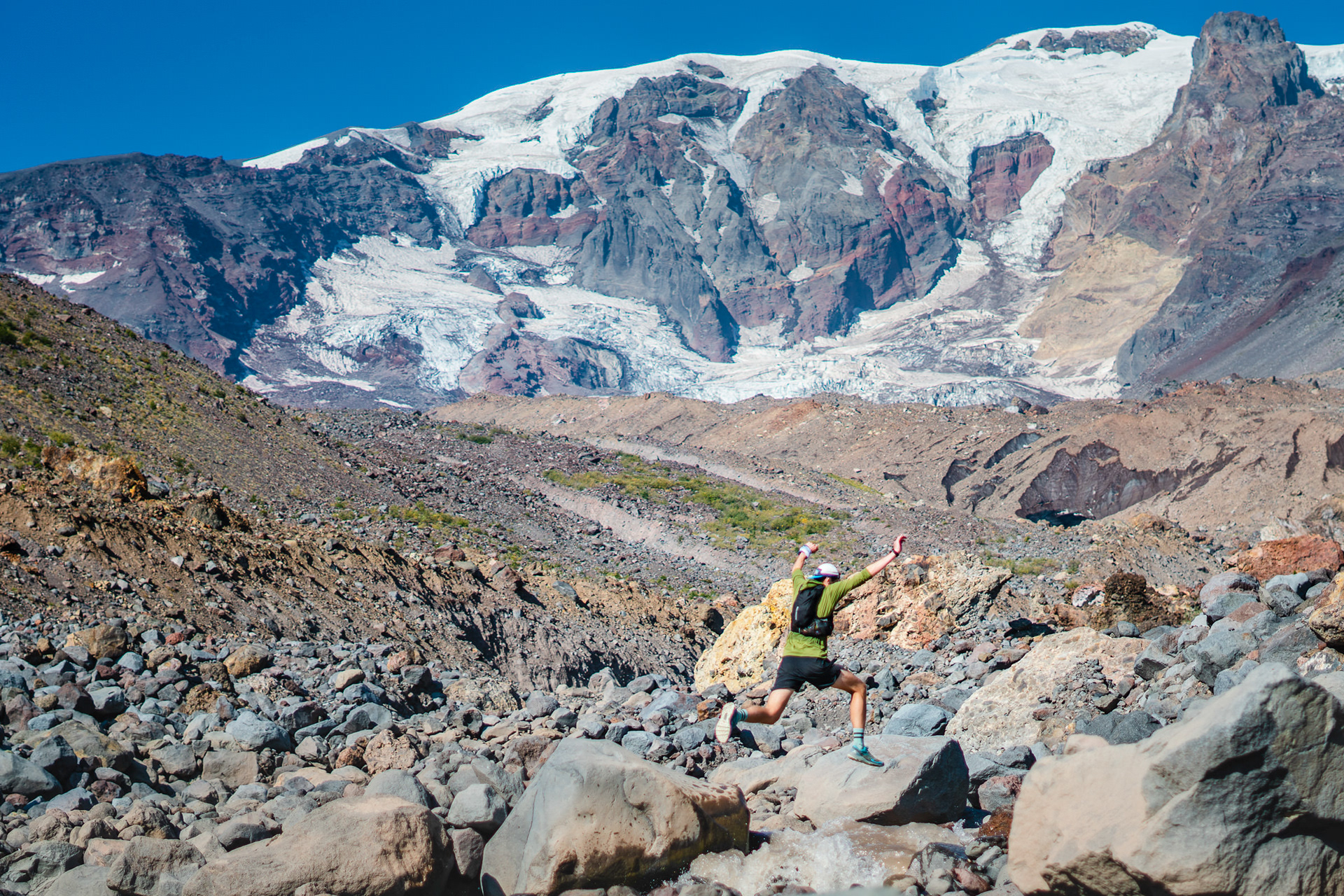
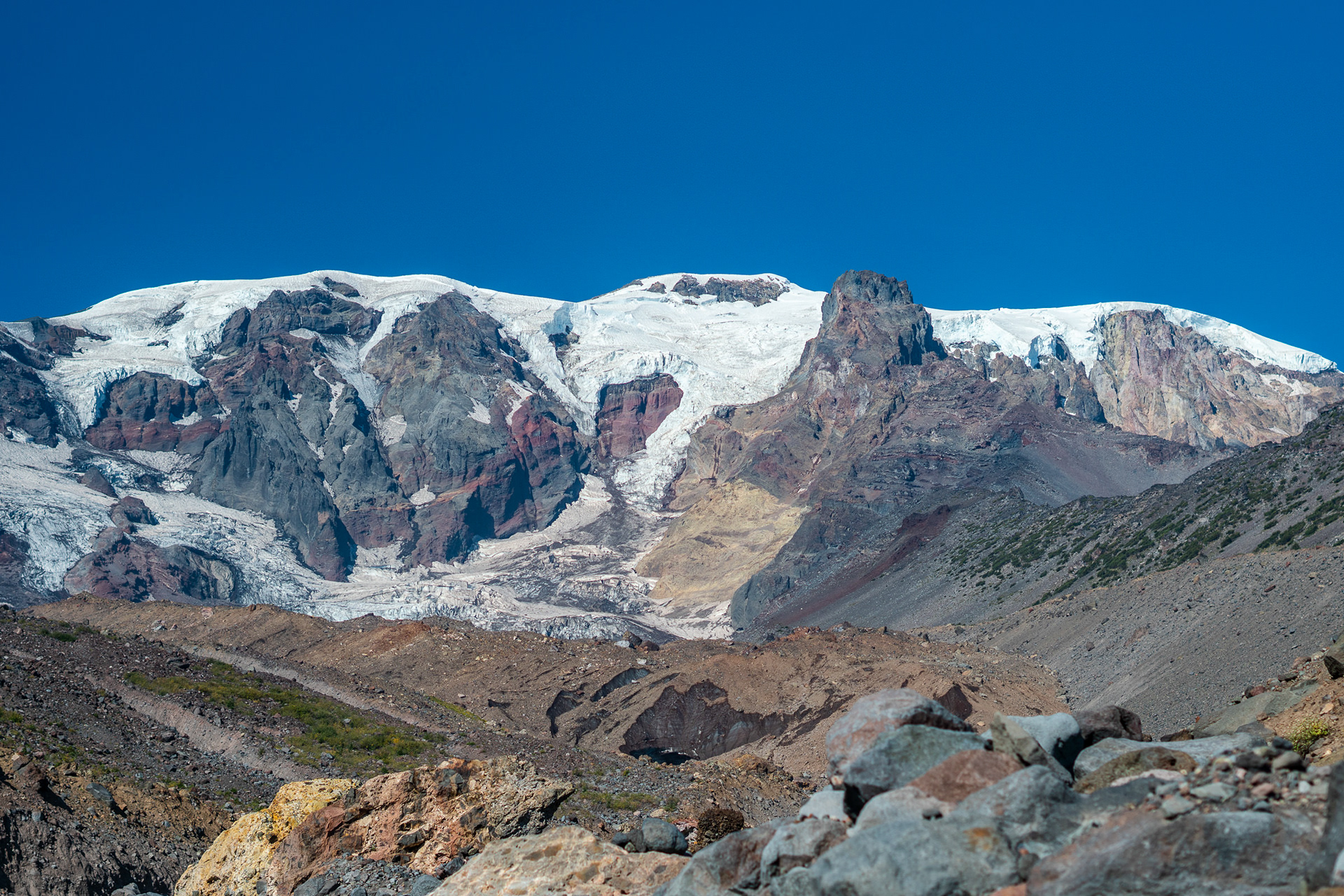
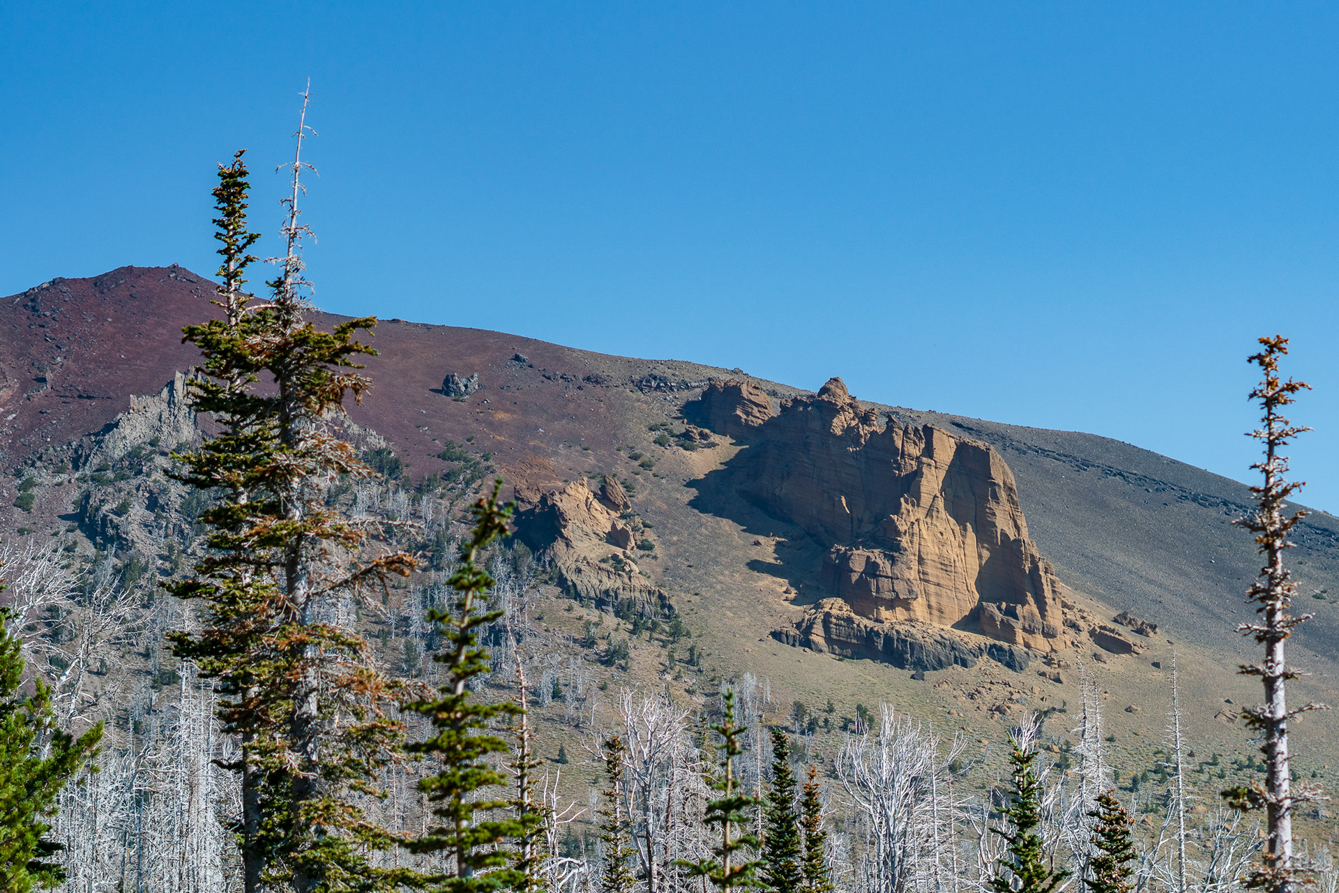
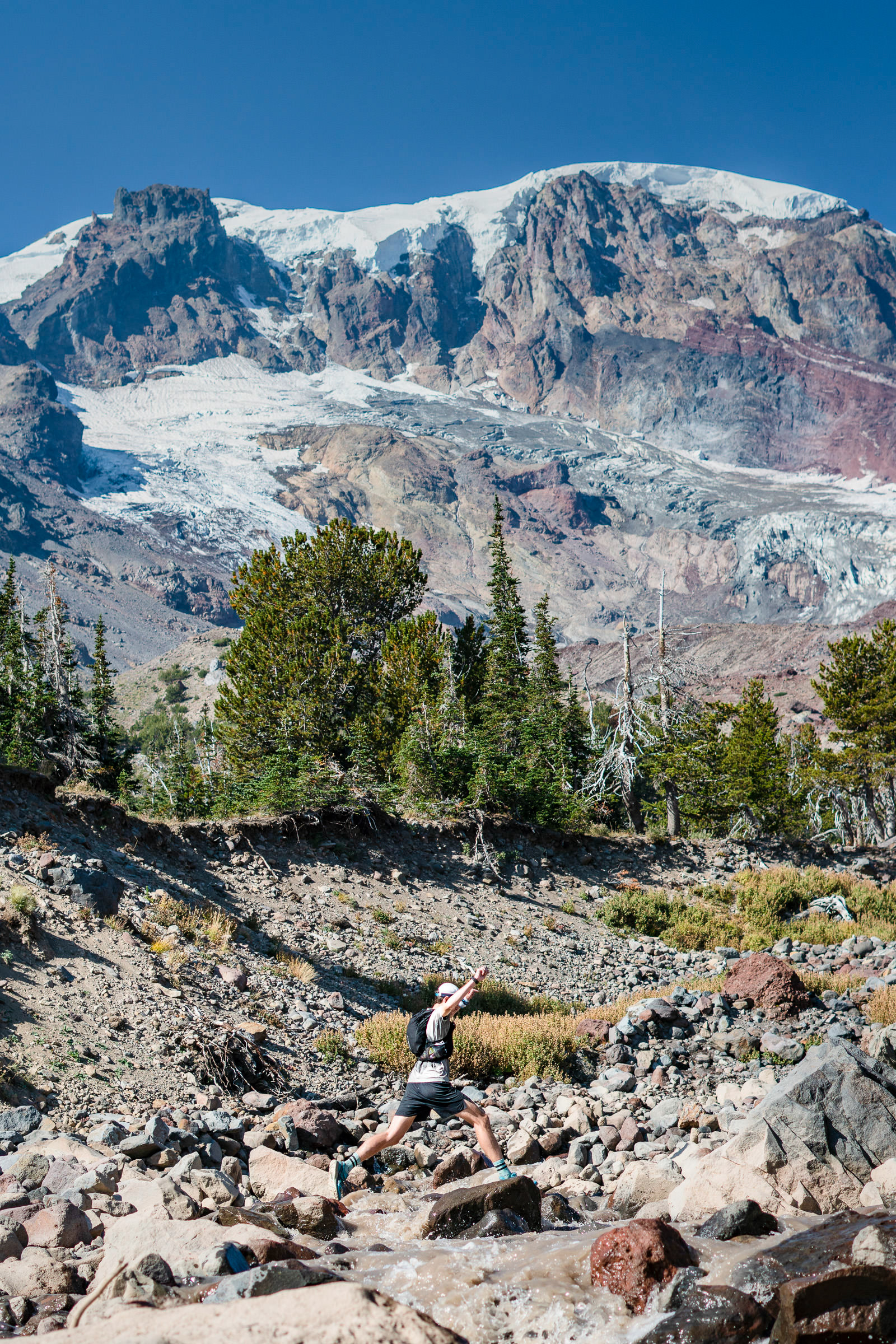
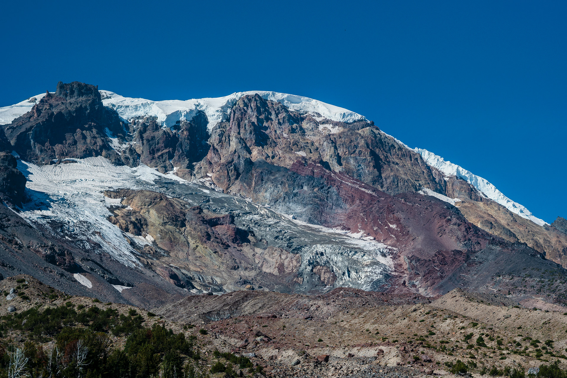
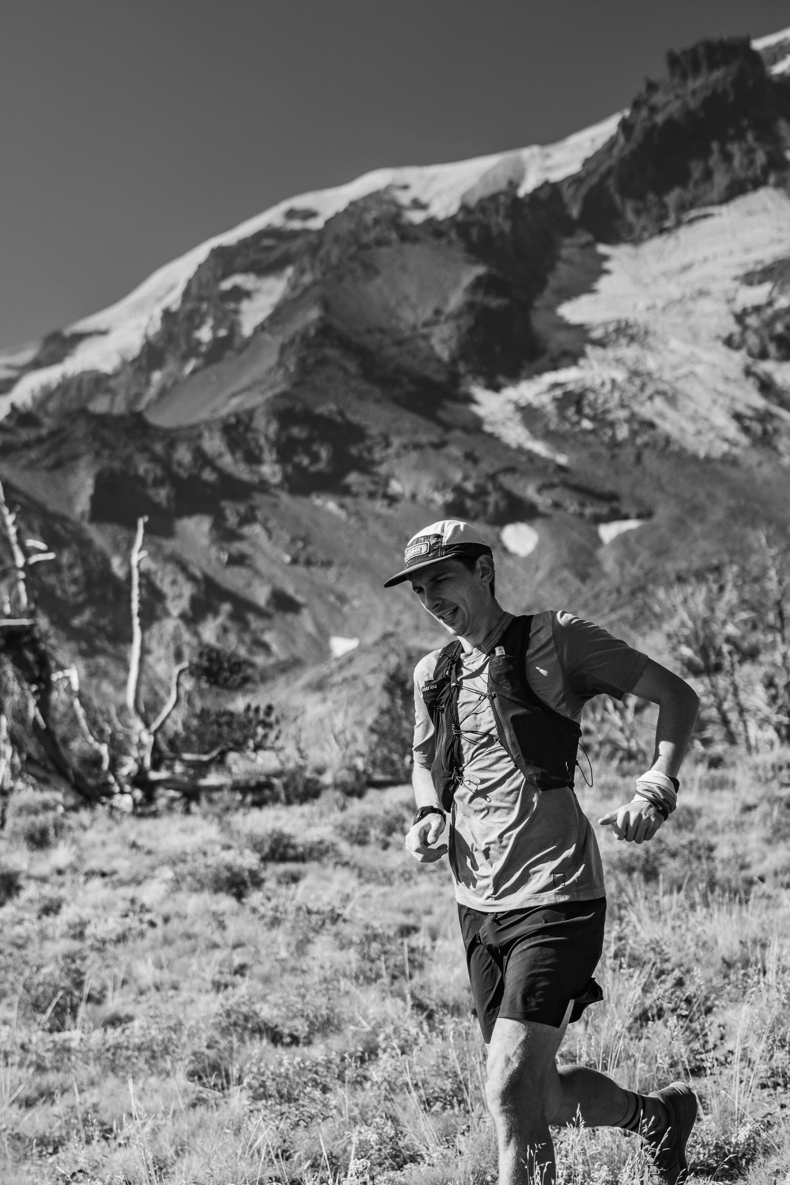
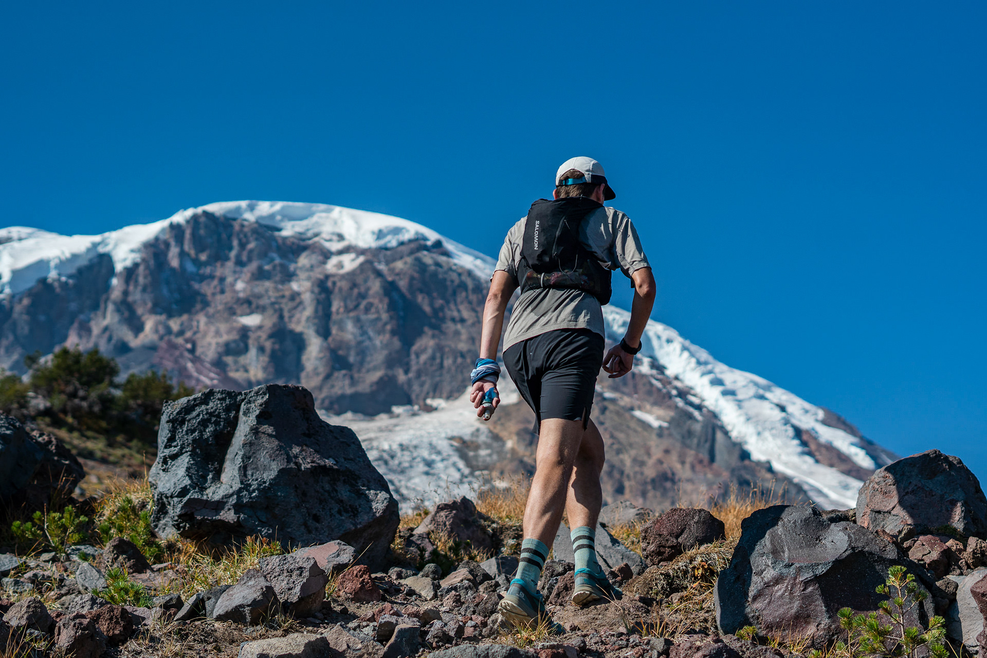
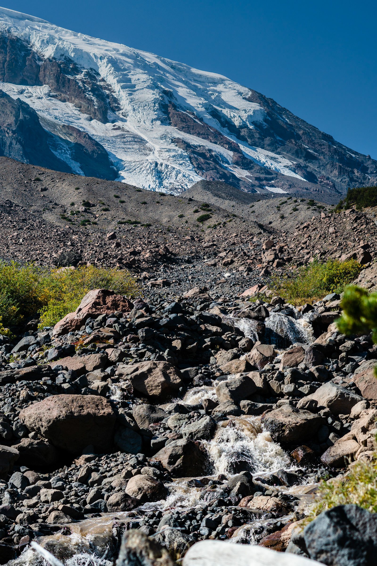
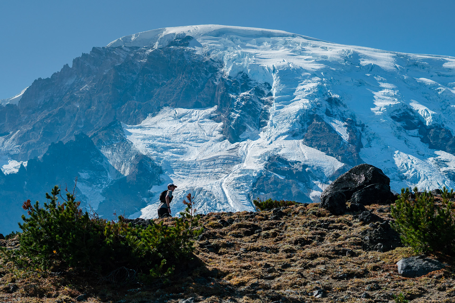
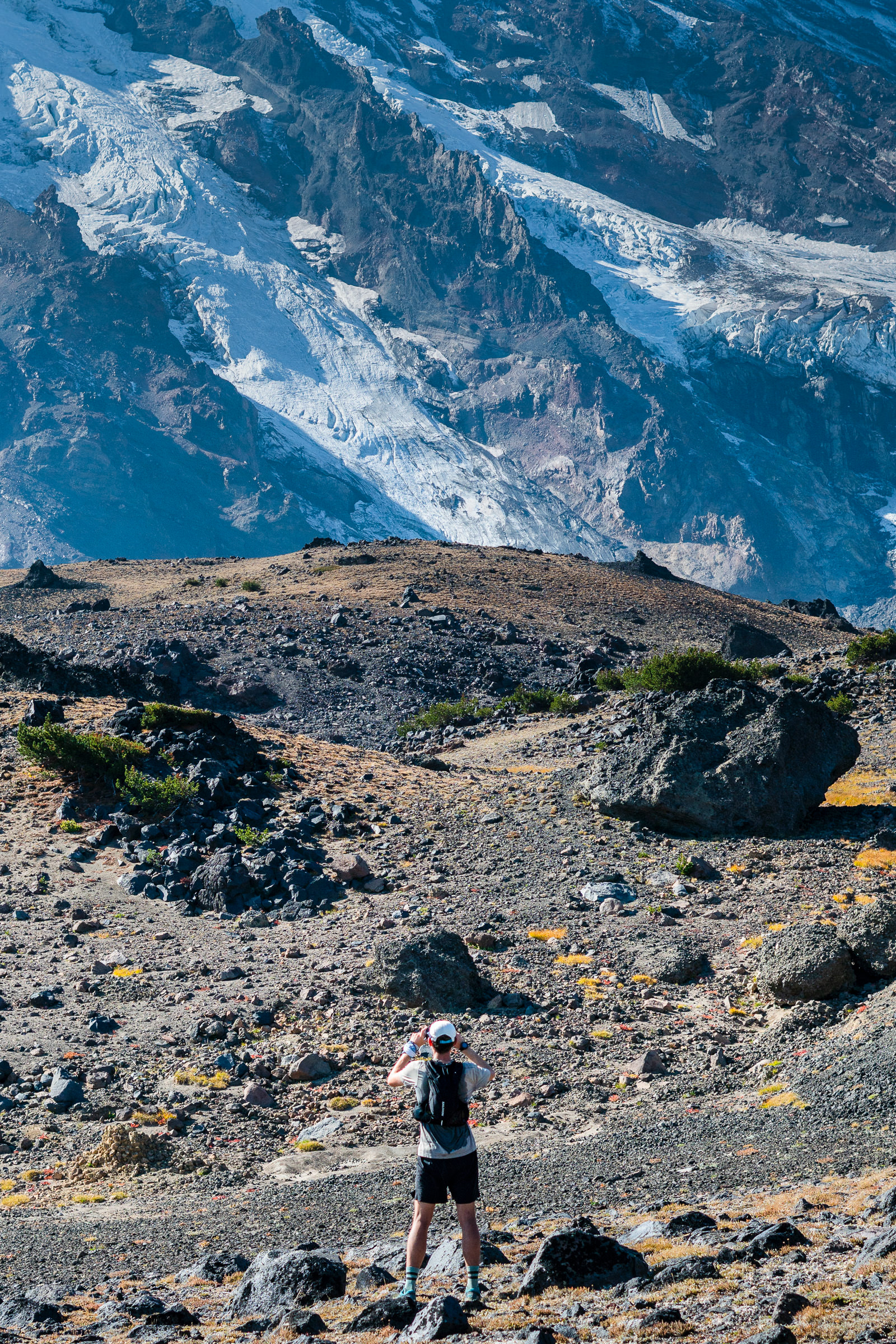
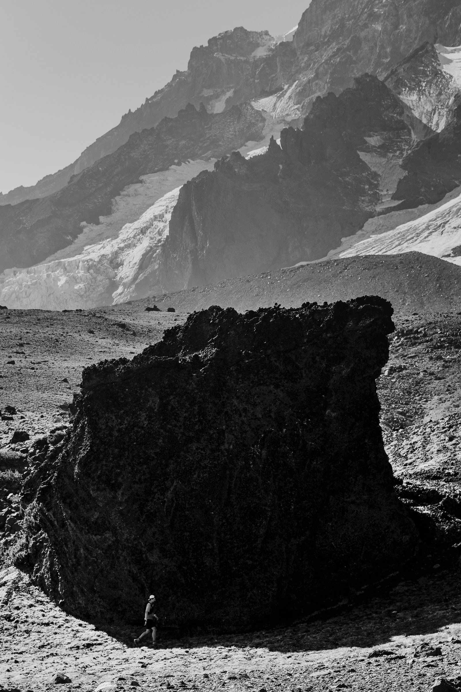
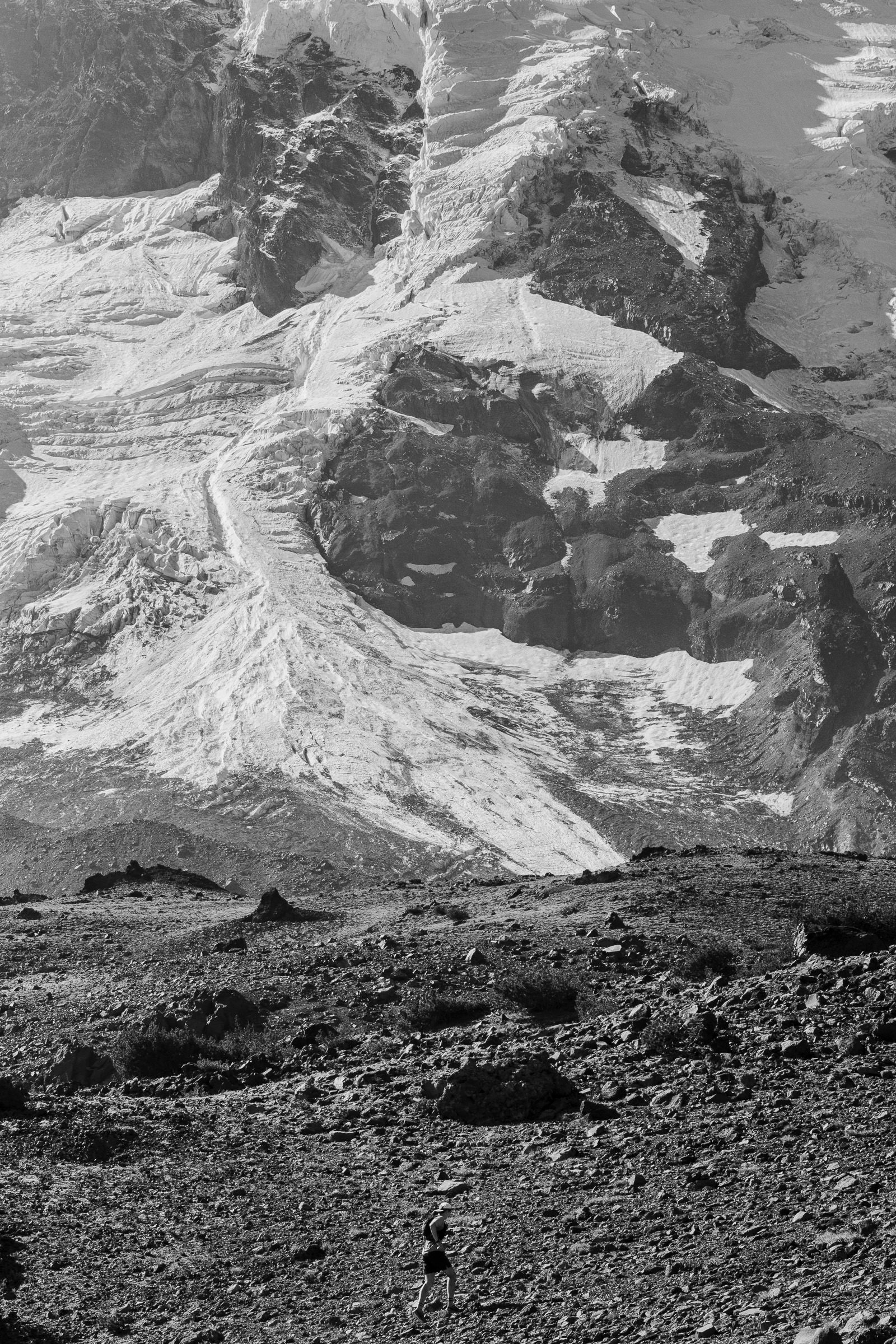
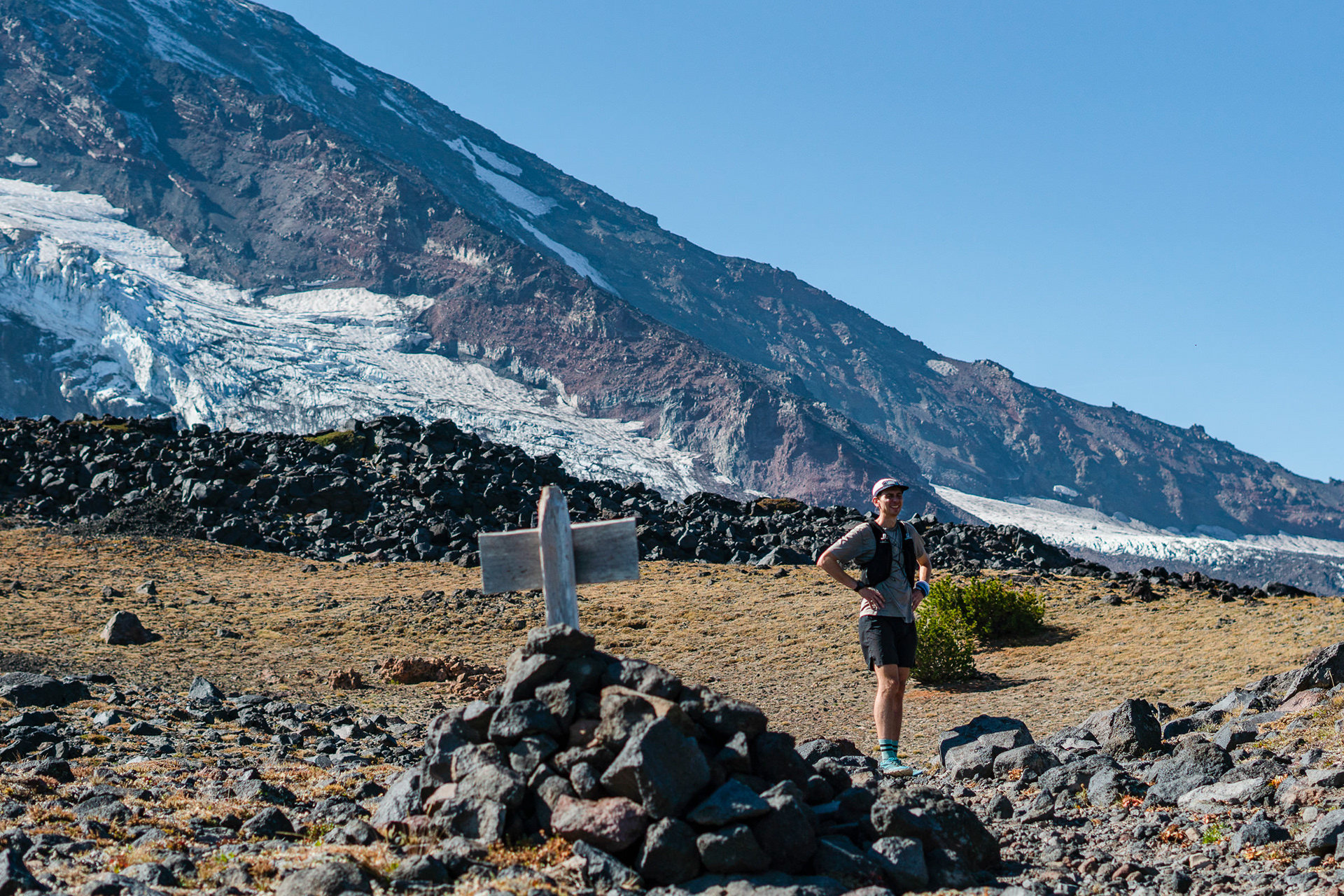
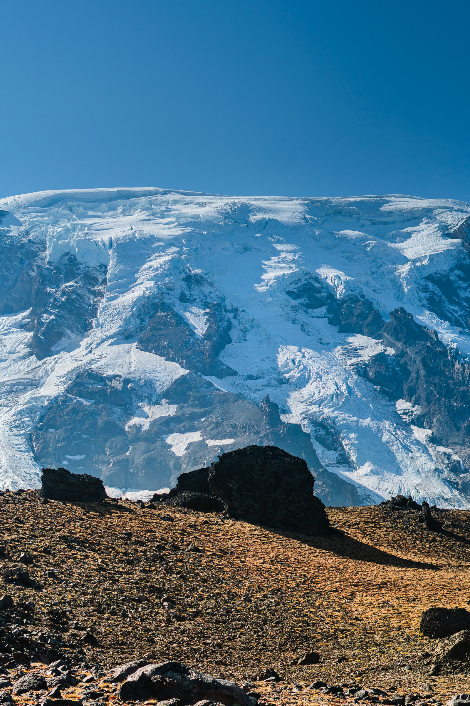
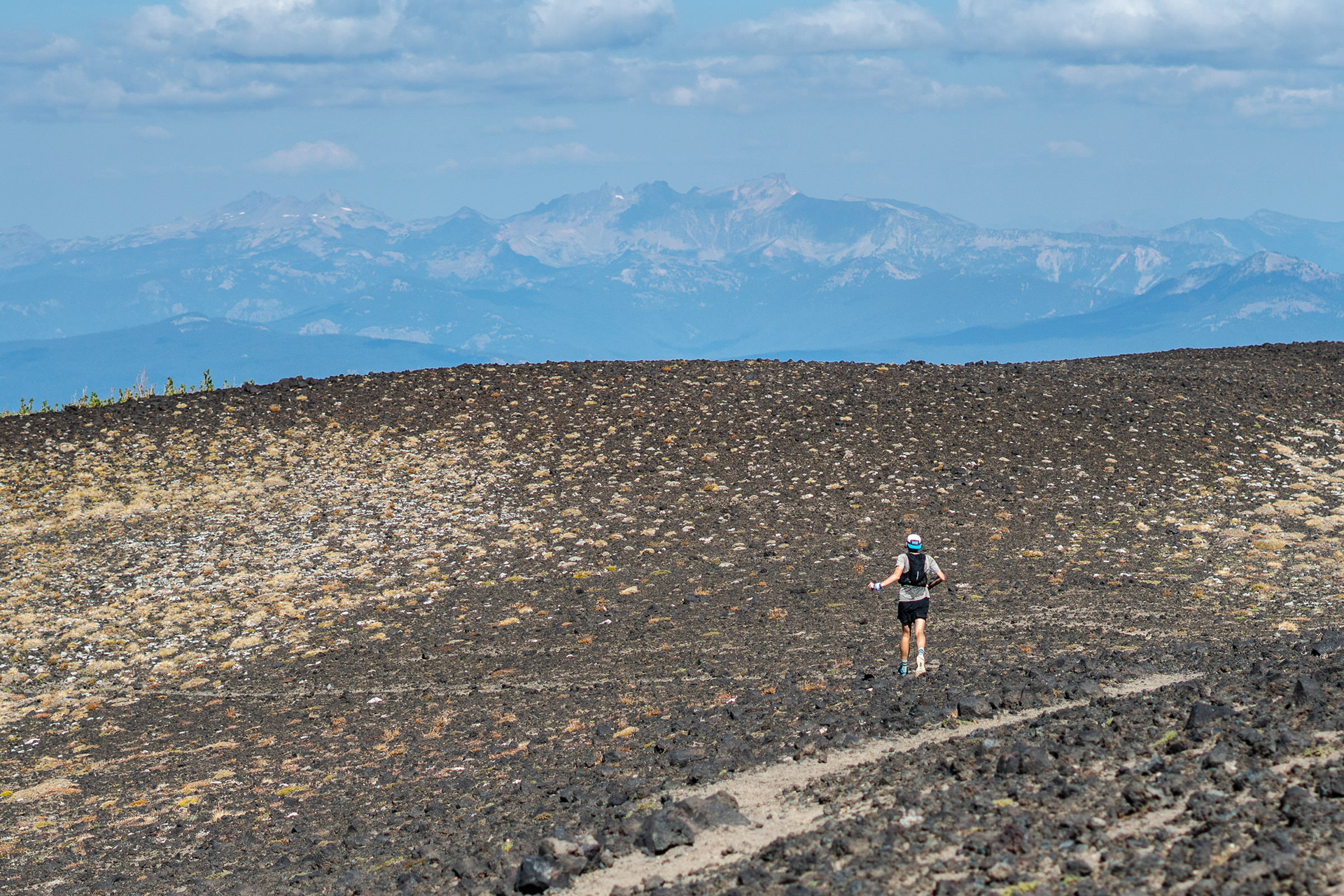
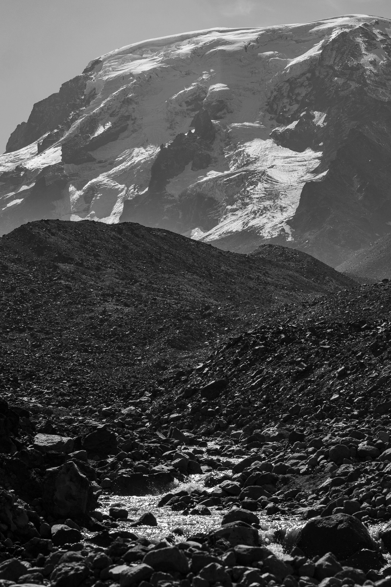
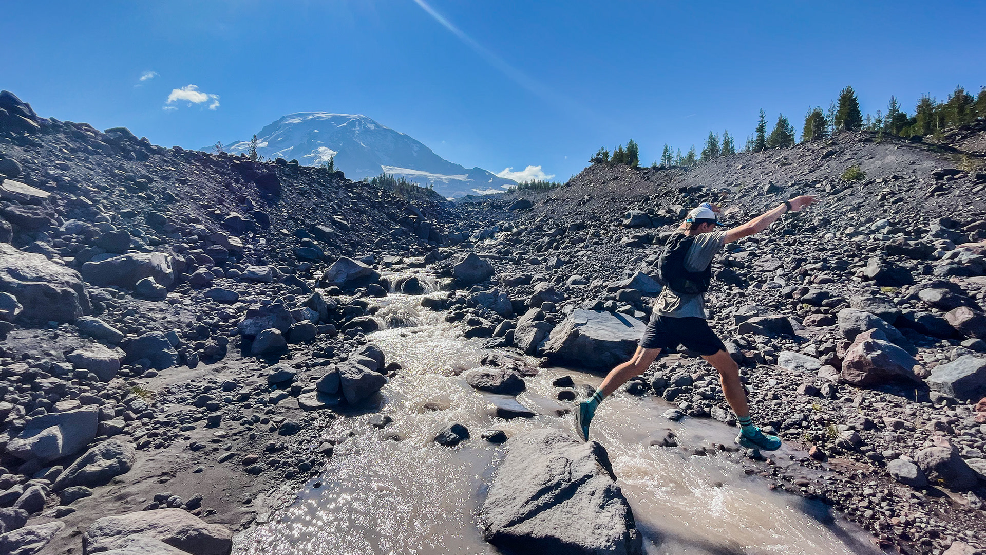
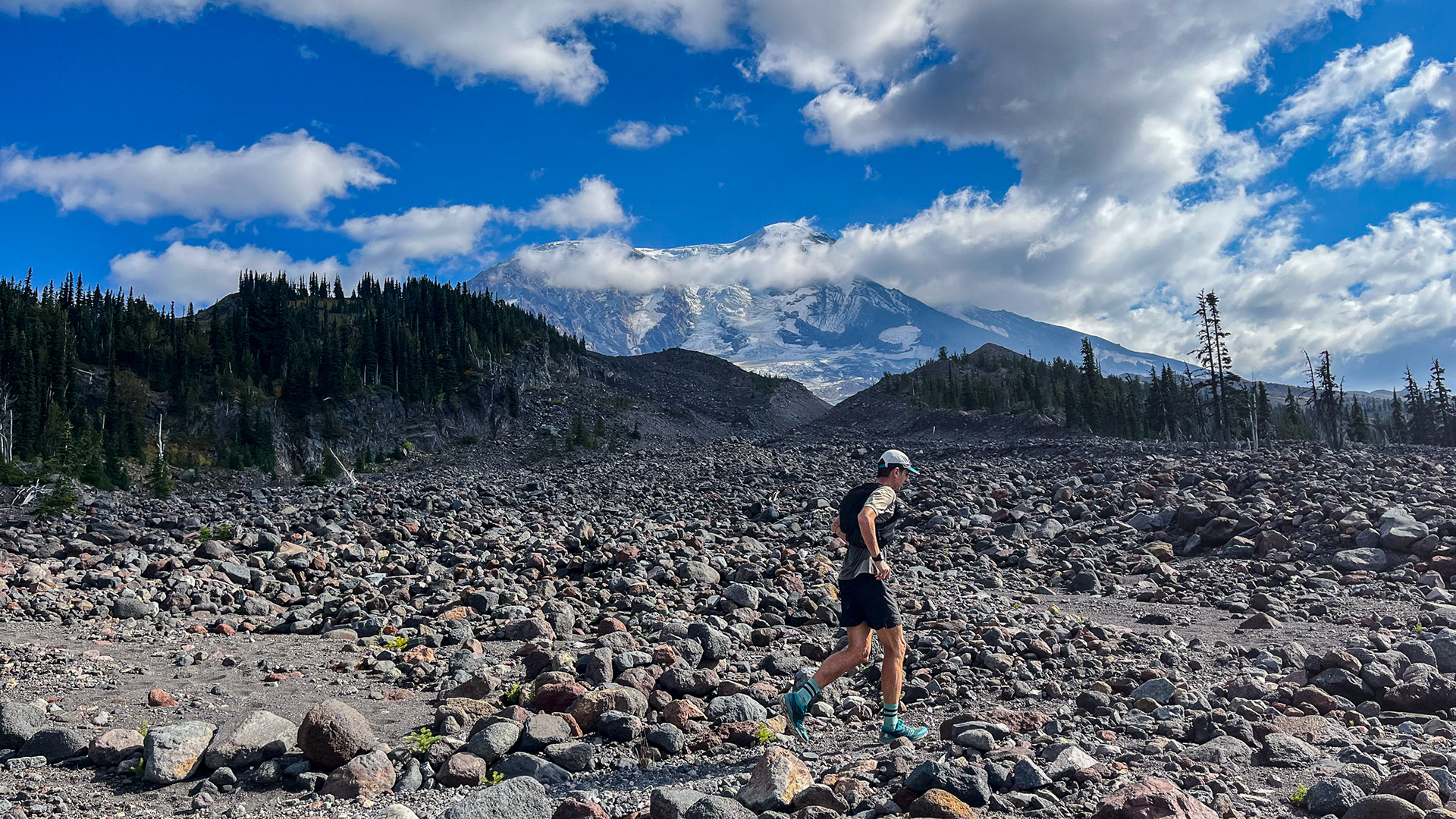
Cold Springs campground marked our start and finish from where we would travel counter-clockwise in a roughly circular fashion for 35 miles. The loop is part trail and part route, or cross-country travel. The South Climbers Trail ascends quickly from Cold Springs to the Round The Mountain Trail. Why this trail is called so baffles me, it only exists on the mountain's southern end. It was well groomed, however, and as the sun rose over lightly frosted alpine succulents and grassy meadows we darted along the mildly rutted single track toward Hellroaring Viewpoint. Looking at the landscape to come it was clear our pace was about to slump. For eight miles we bushwhacked our way through the Hellroaring drainage, up and over a saddle between the Ridge Of Wonders and Little Mount Adams, into another glacier valley full of unstable moraines and finally out once more. The Big Muddy Fork crossing, fed by the ominous rock covered, cavernous ice cave of the Klickitat glacier was not intimidating, but the overall experience of this rugged and remote area was.
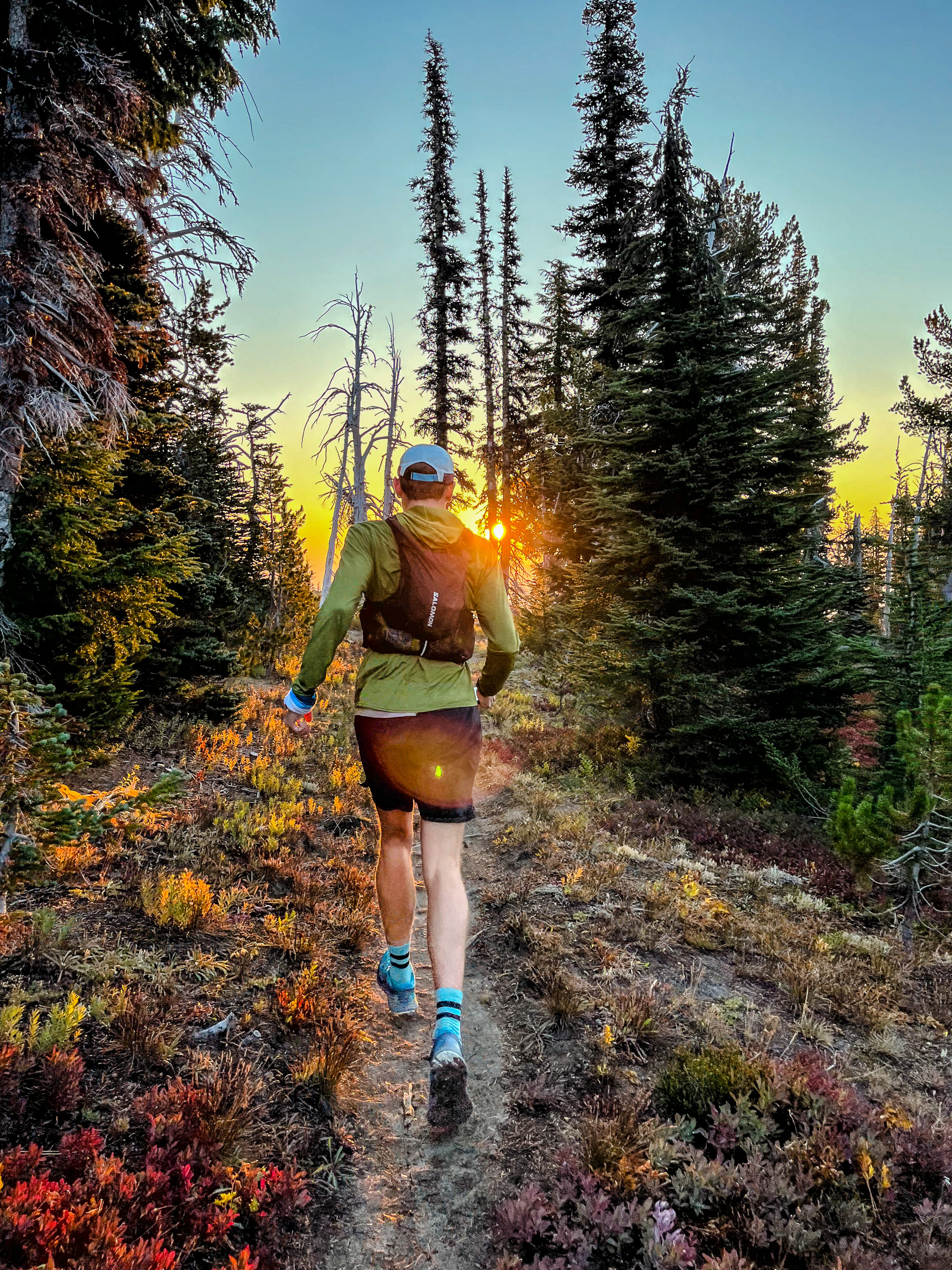
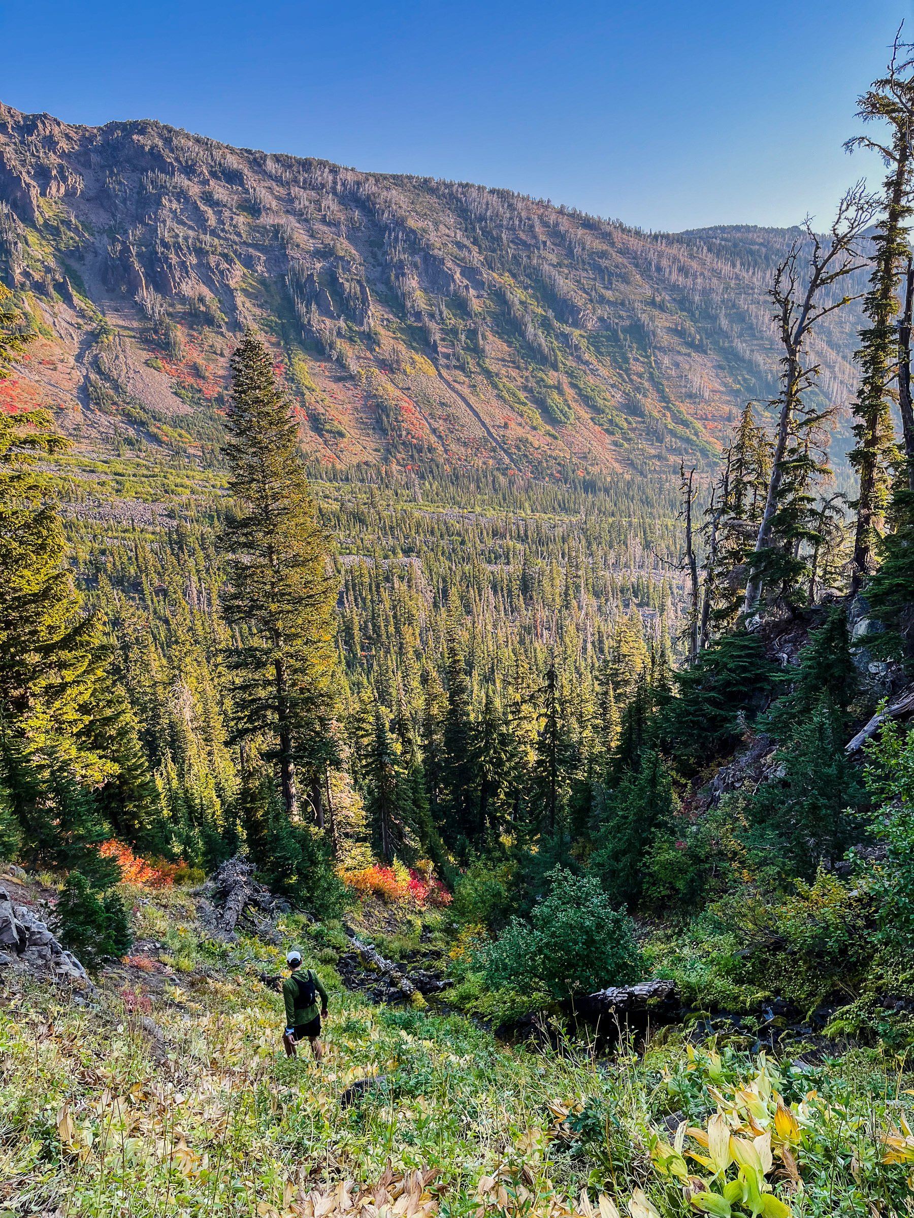
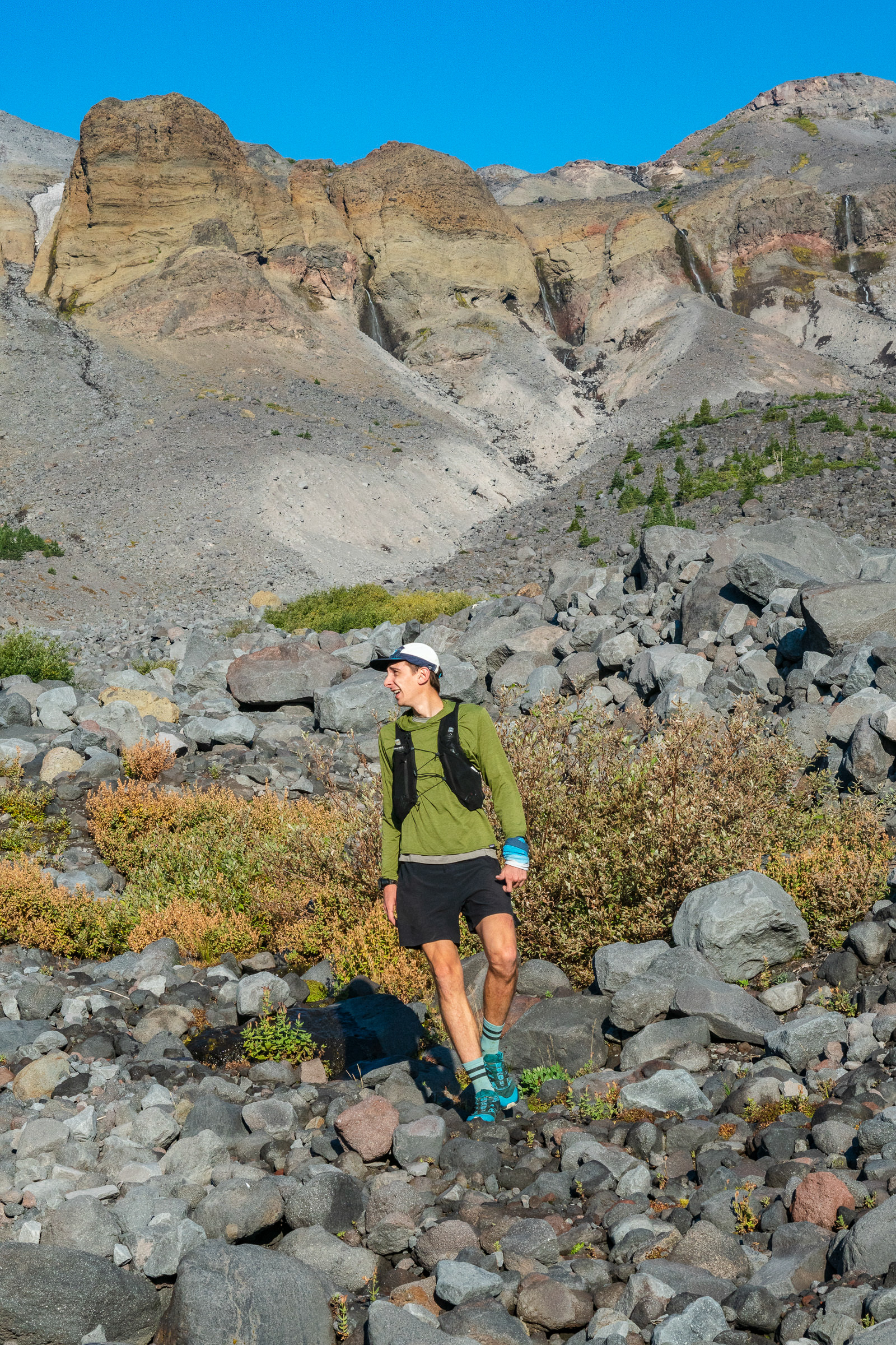
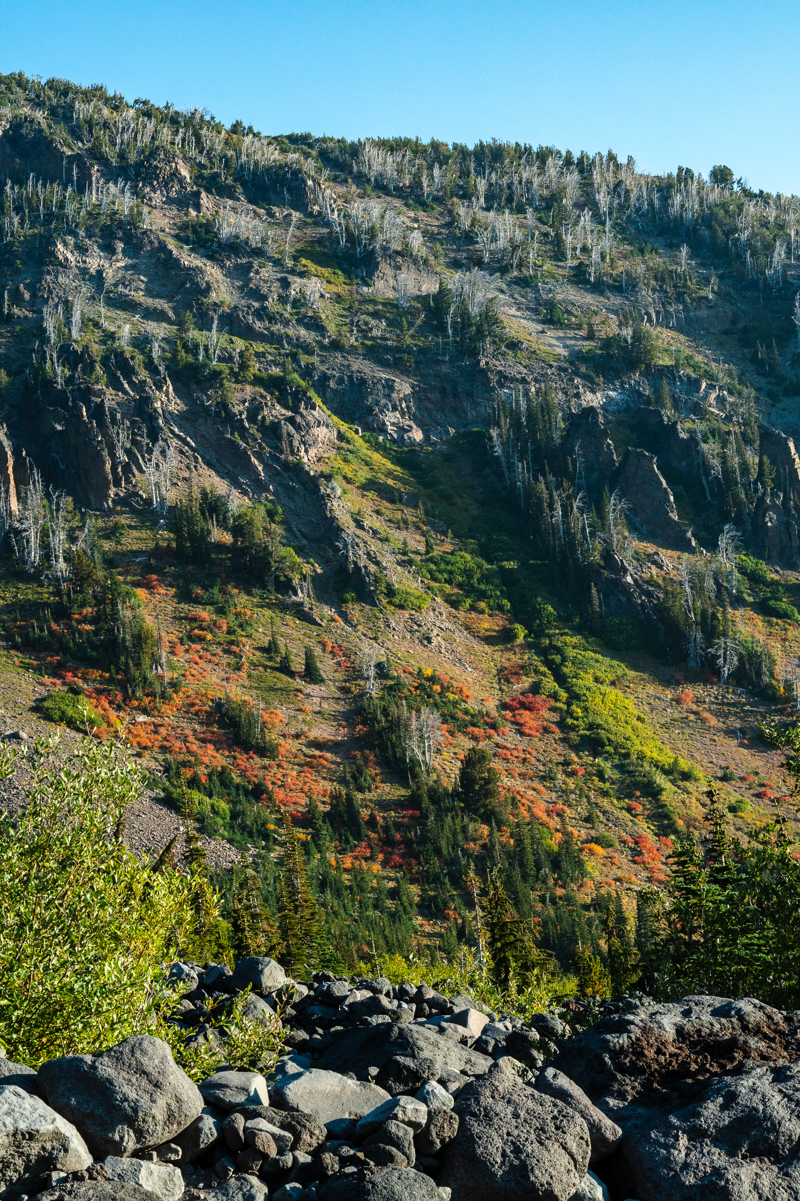
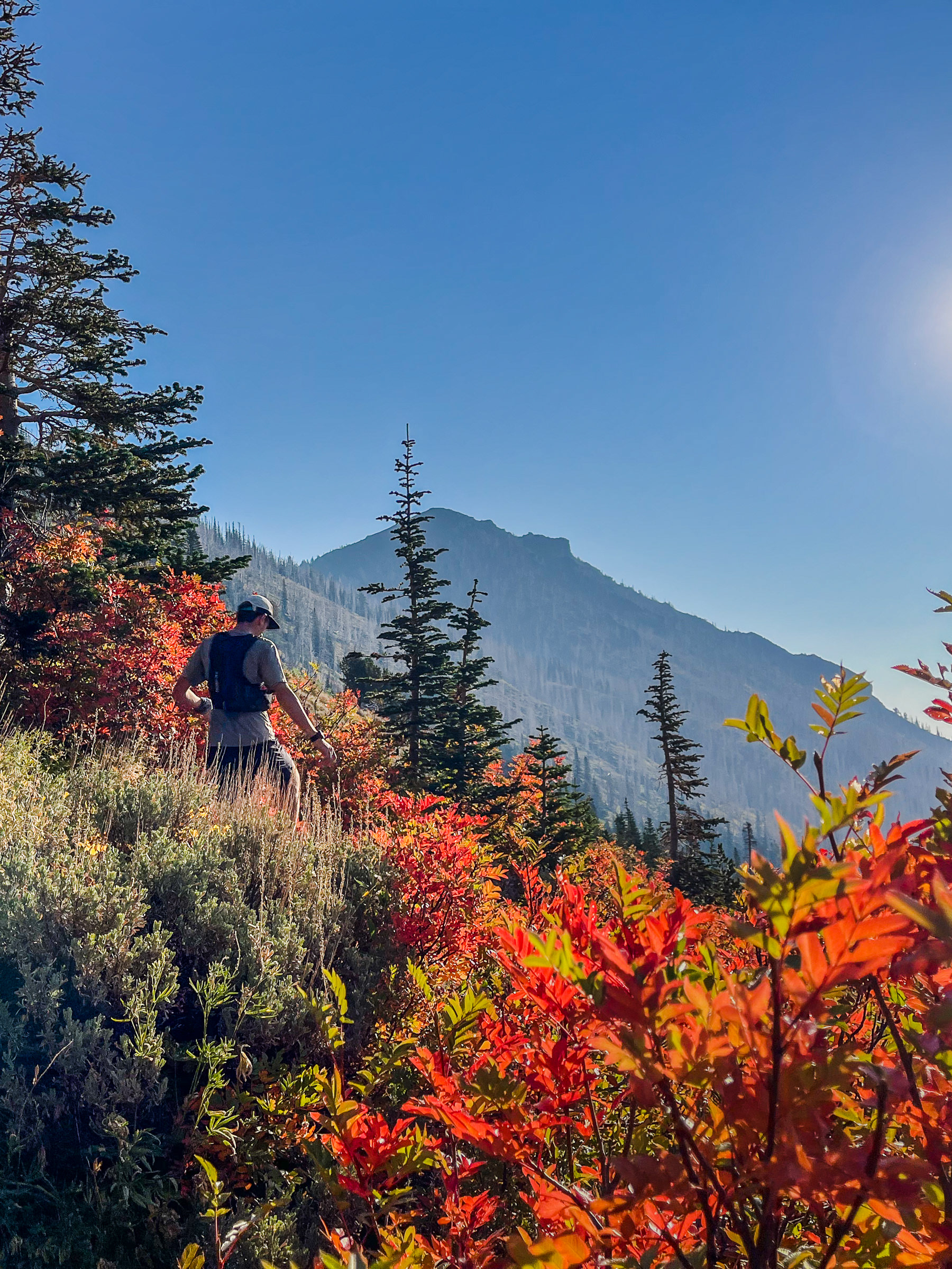
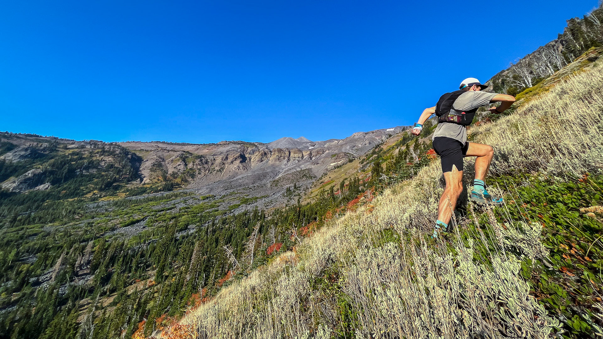
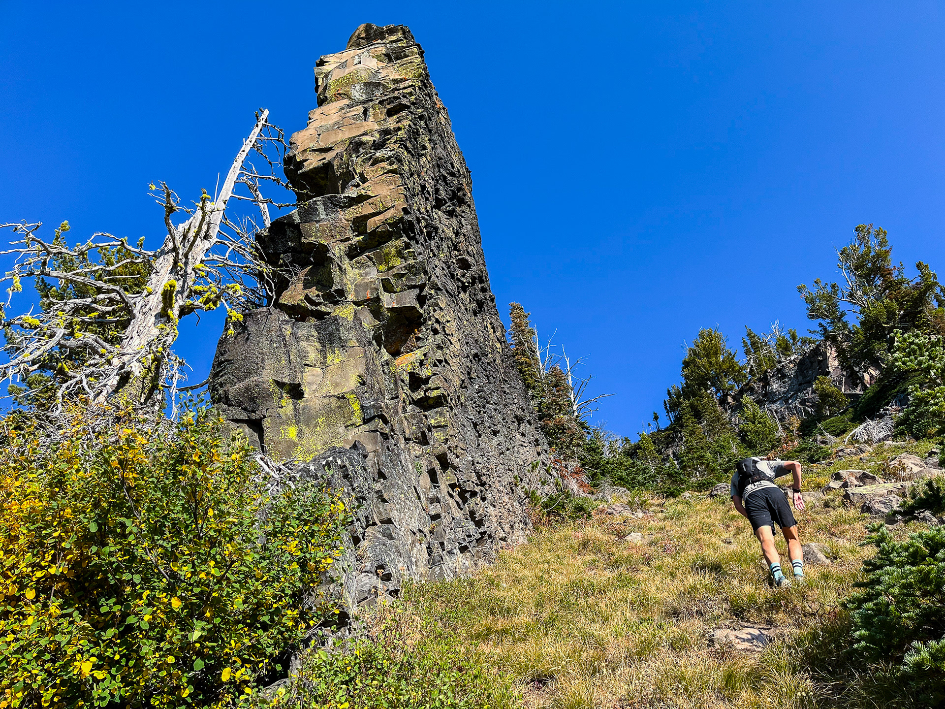
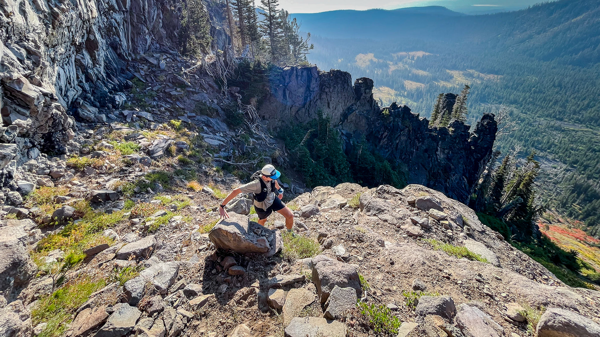
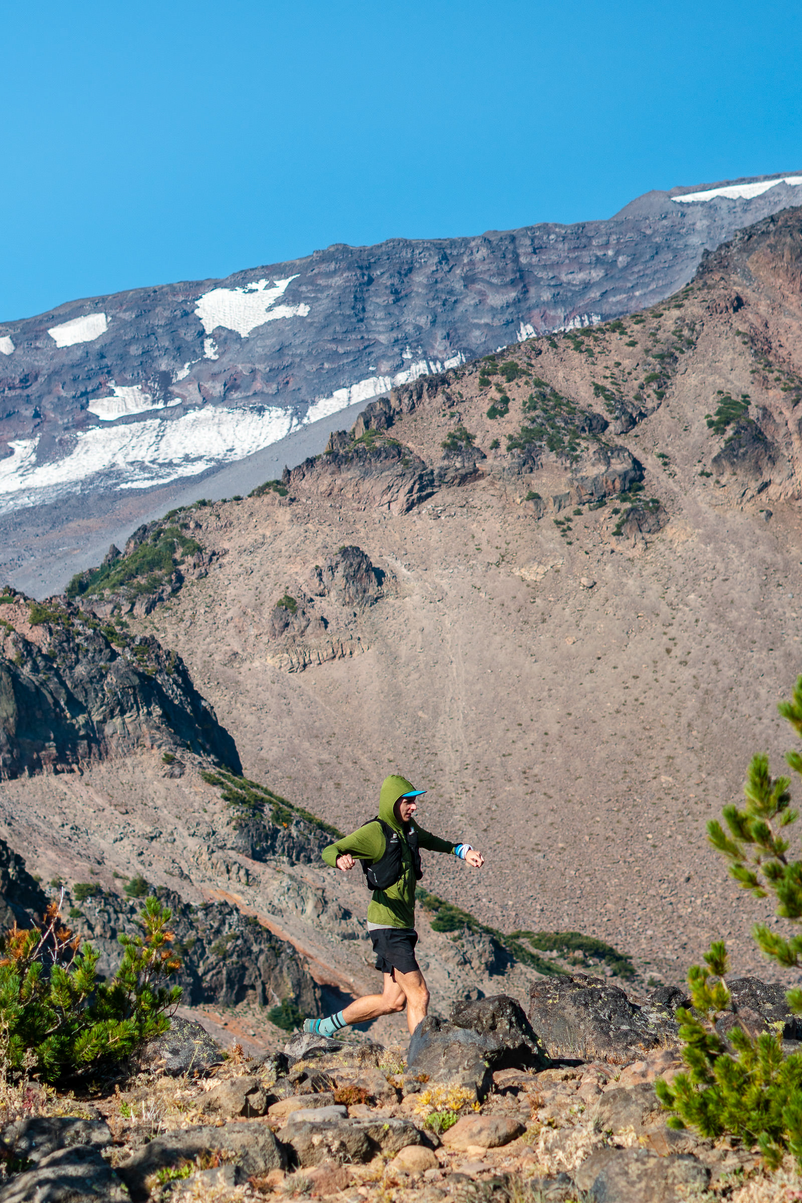
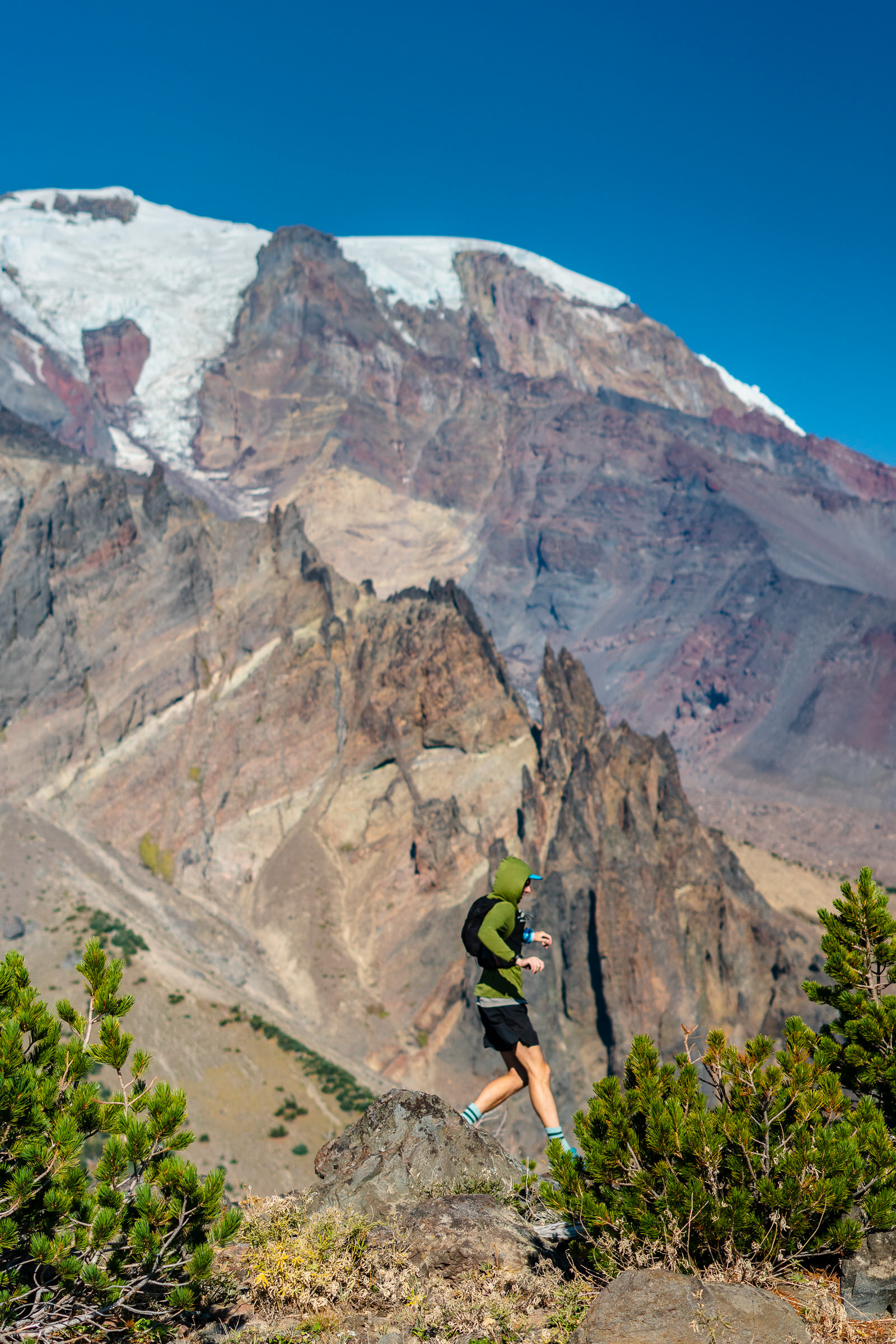
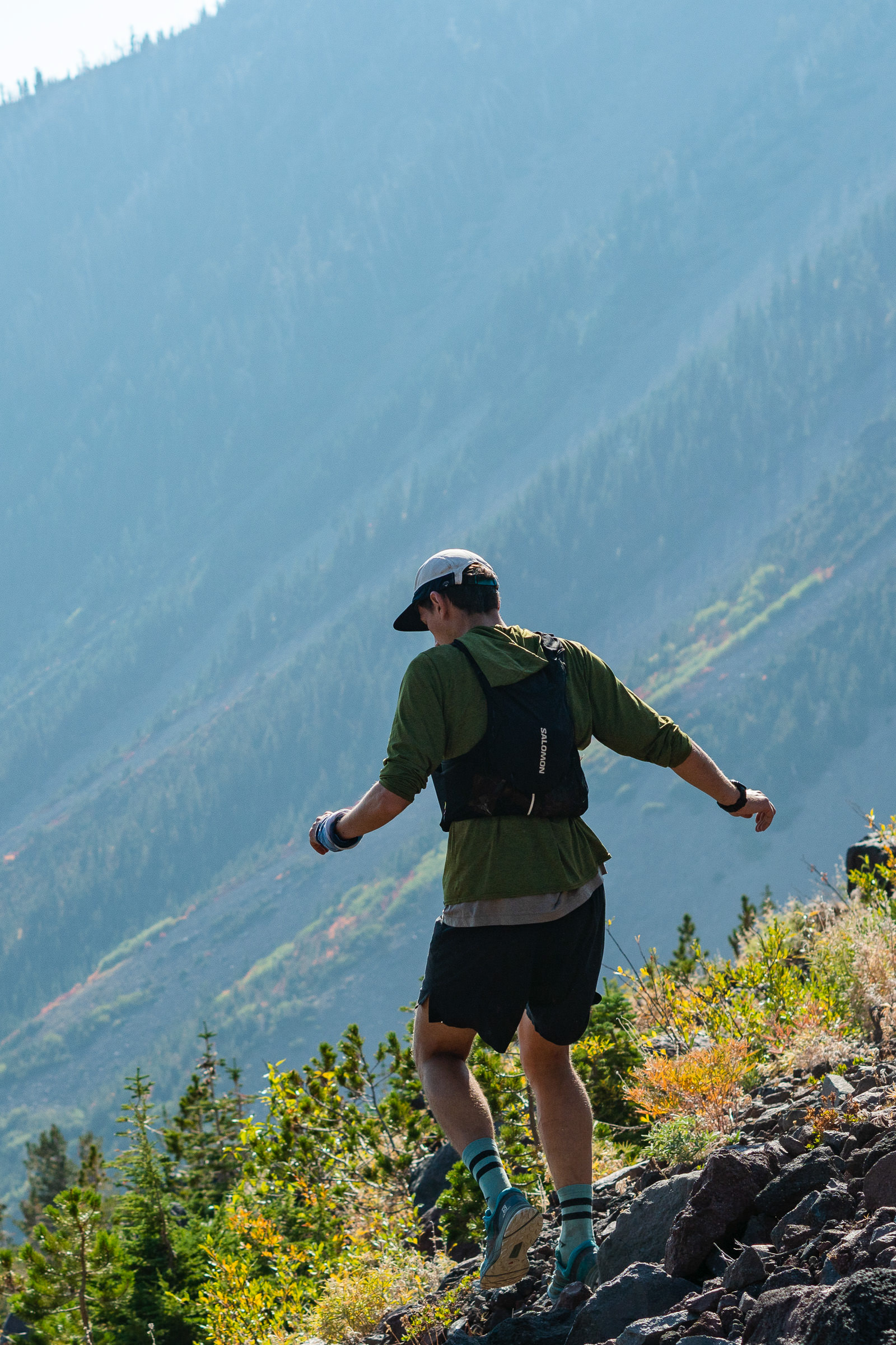
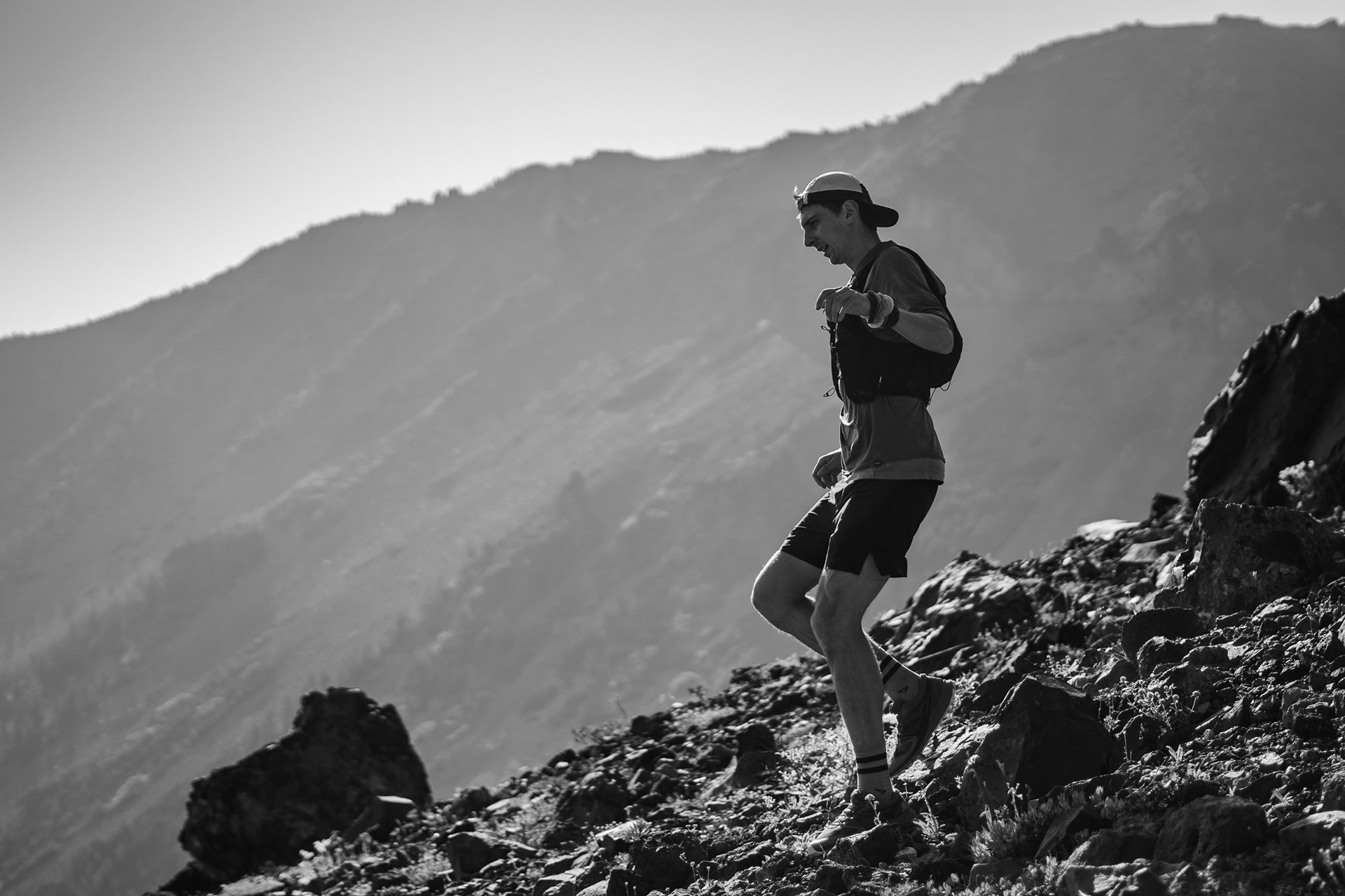
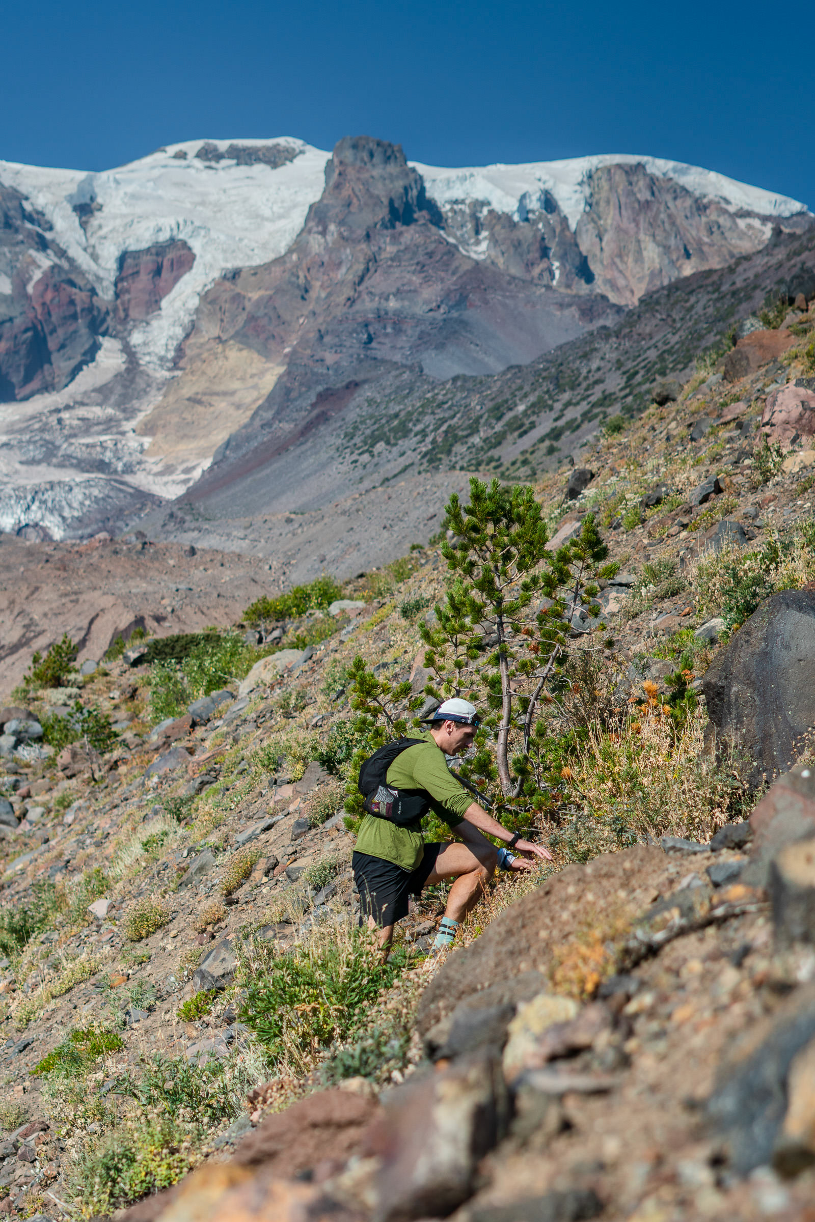
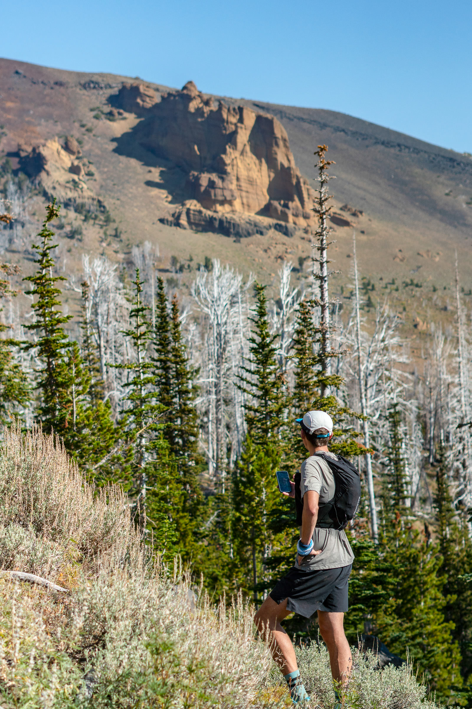
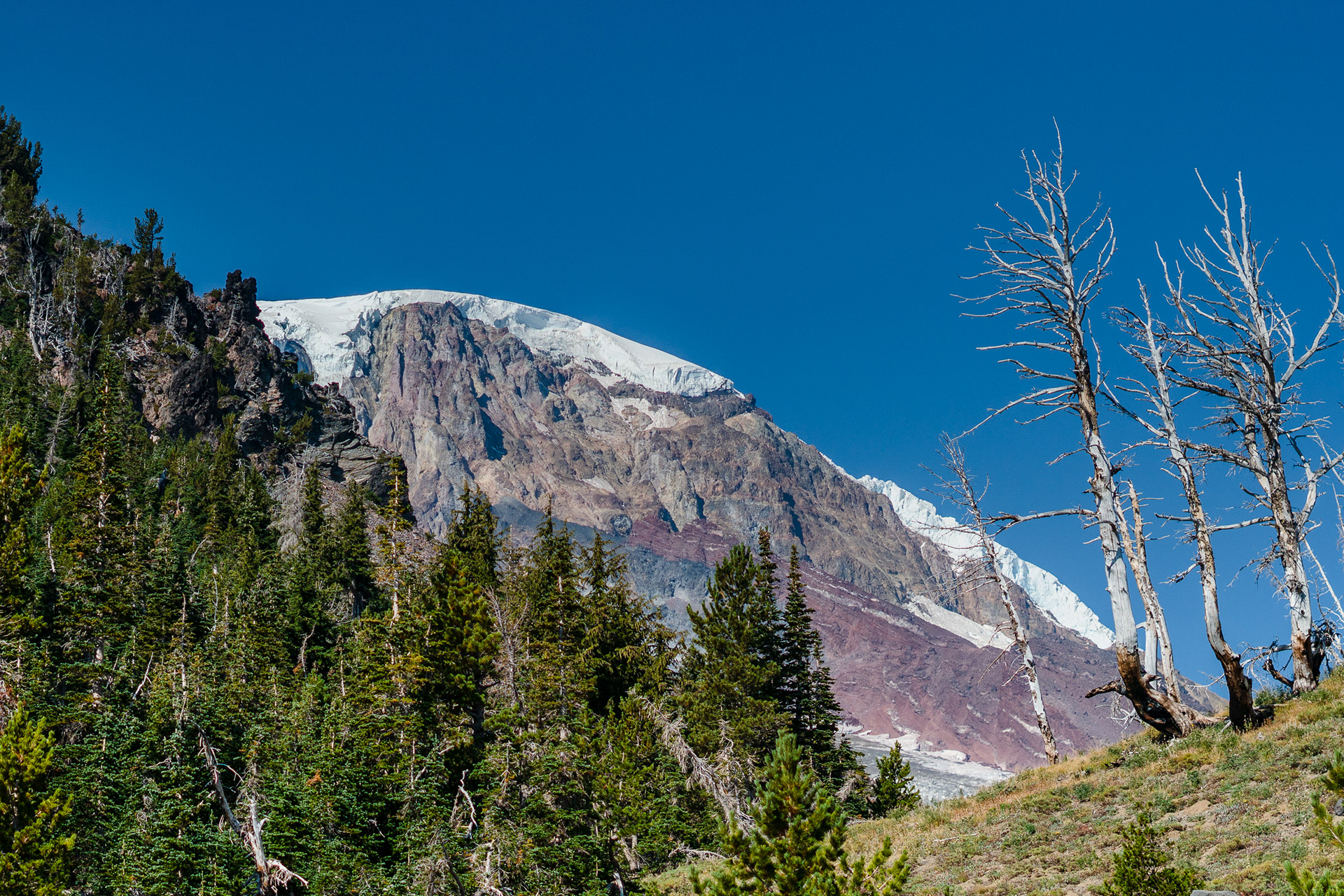
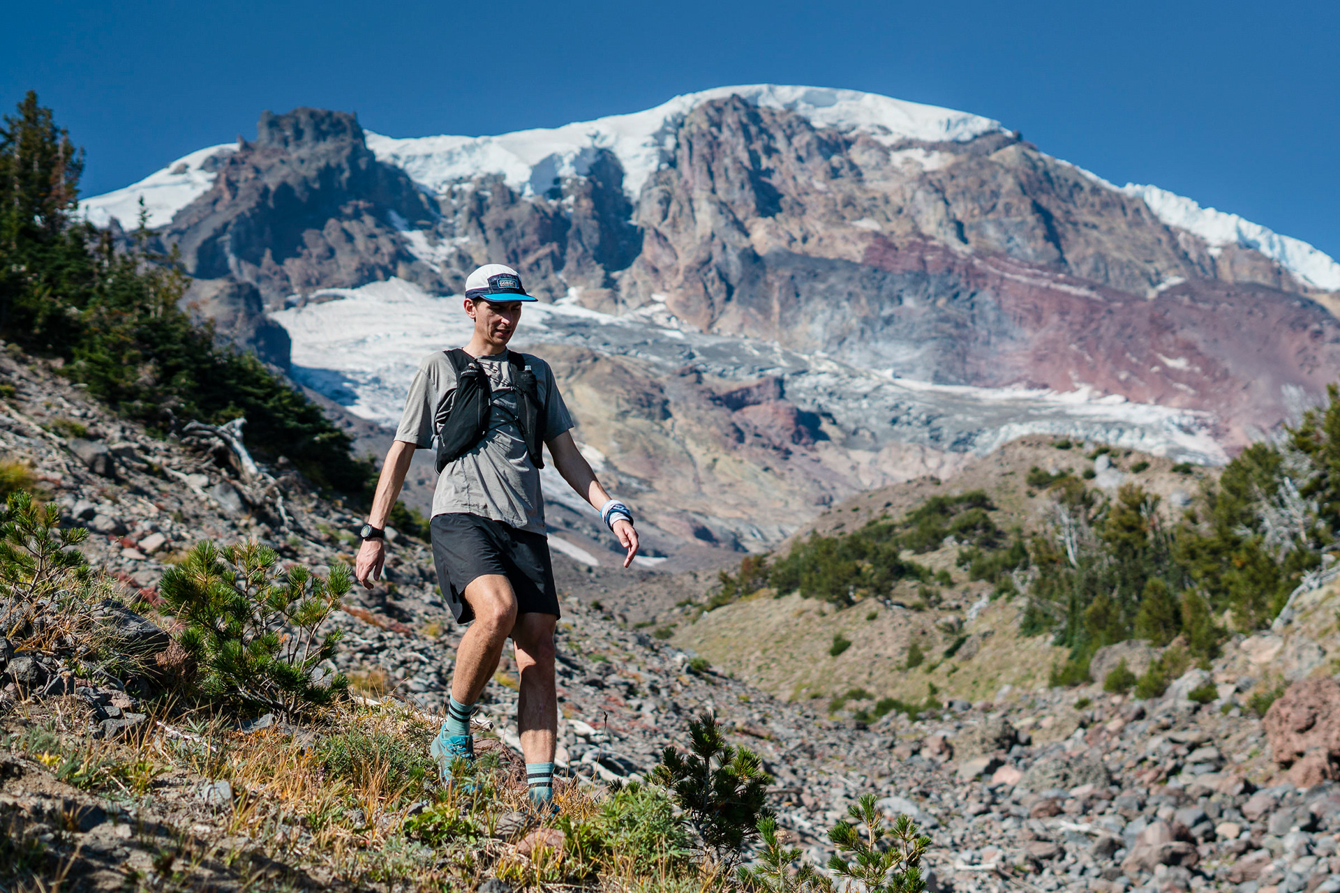
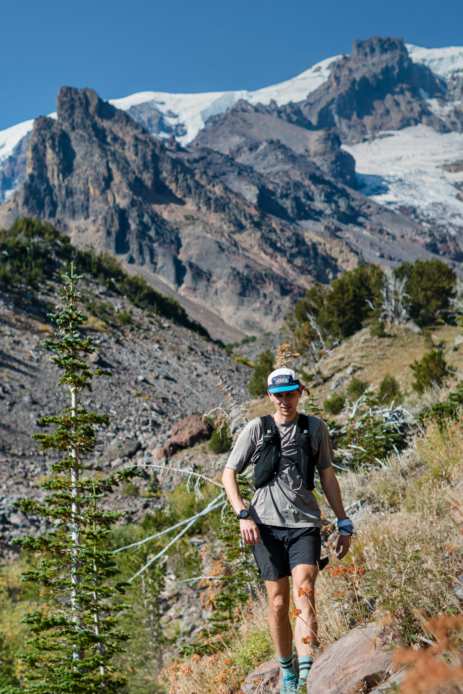
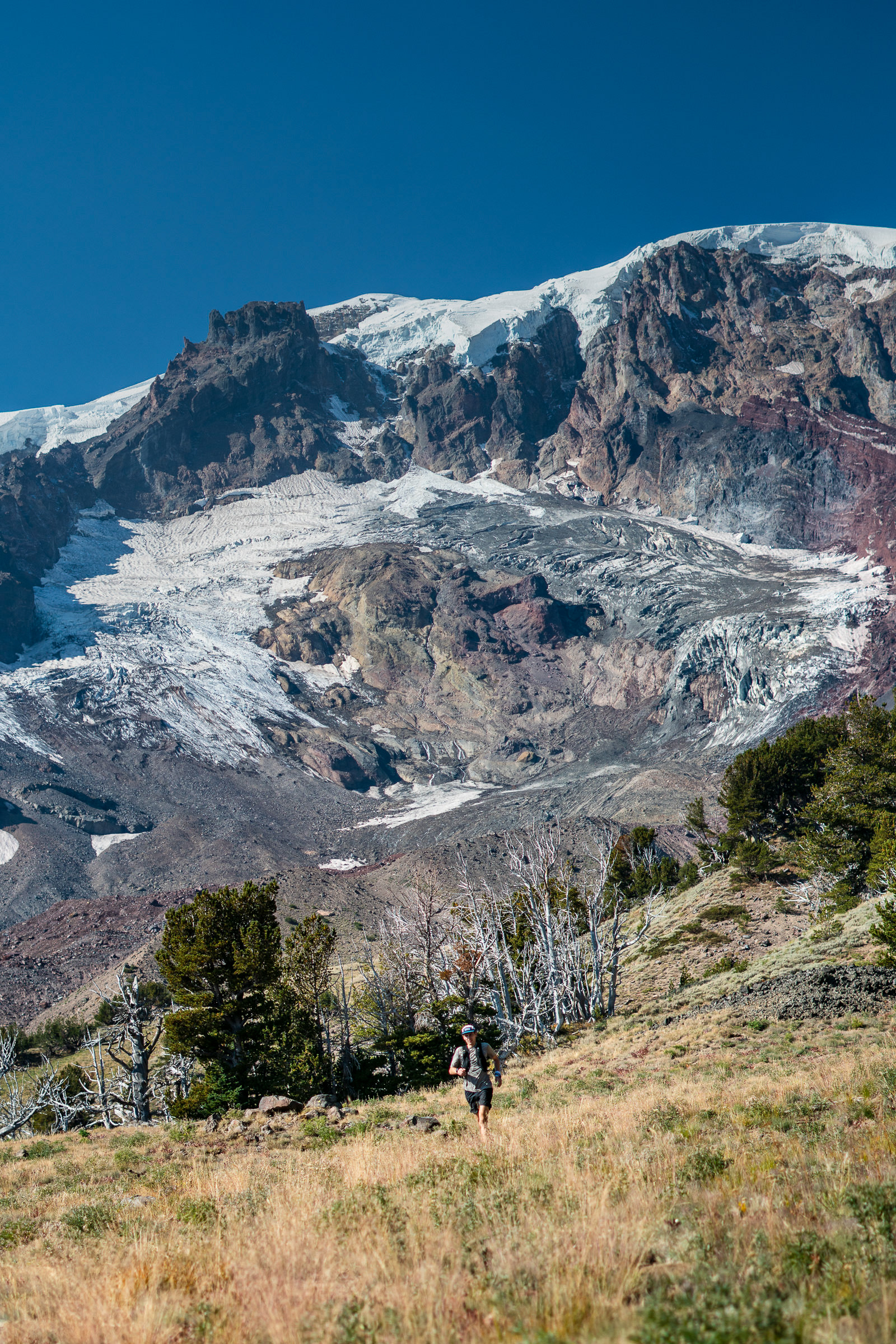
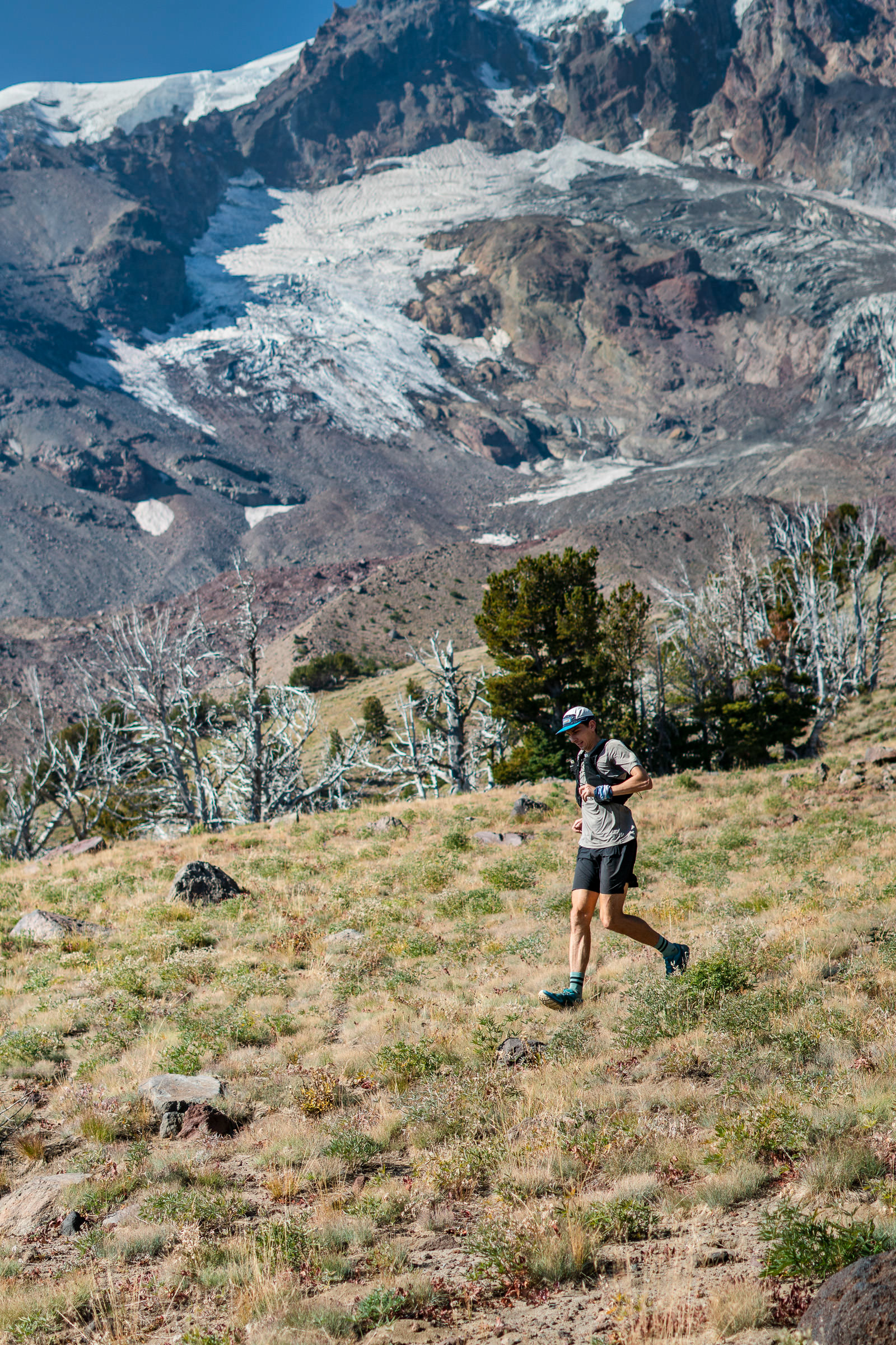
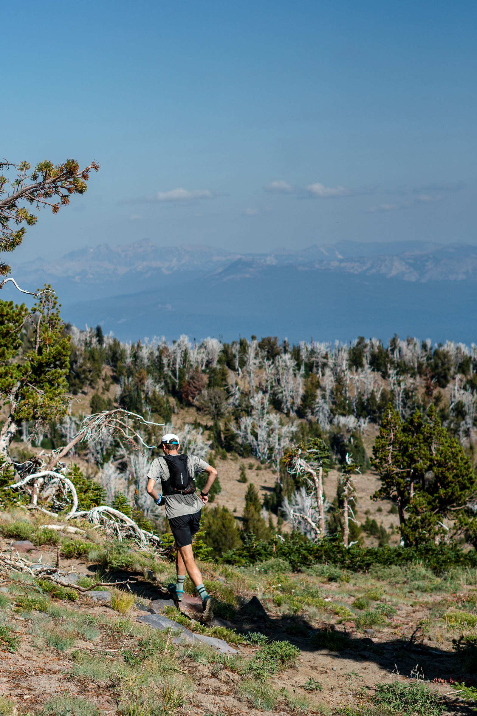
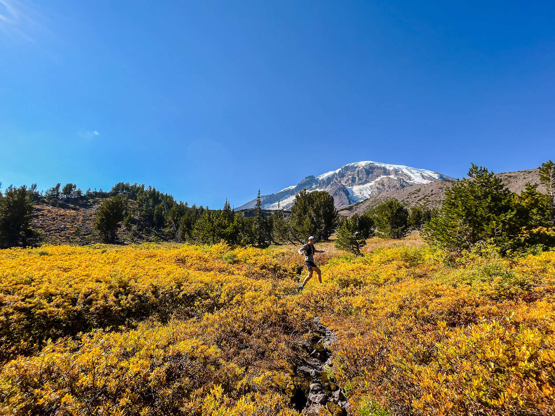
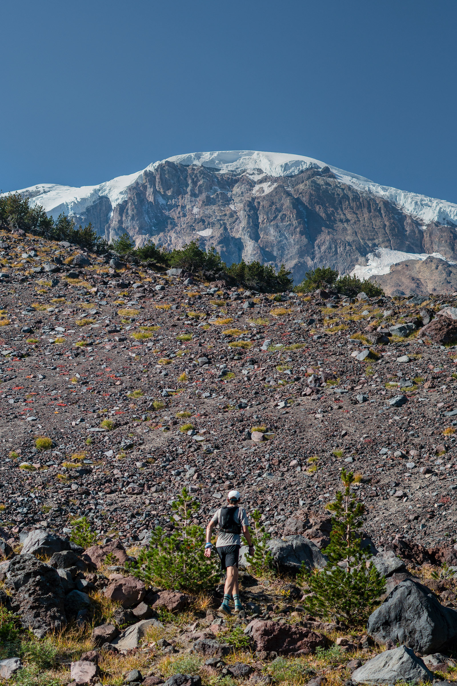
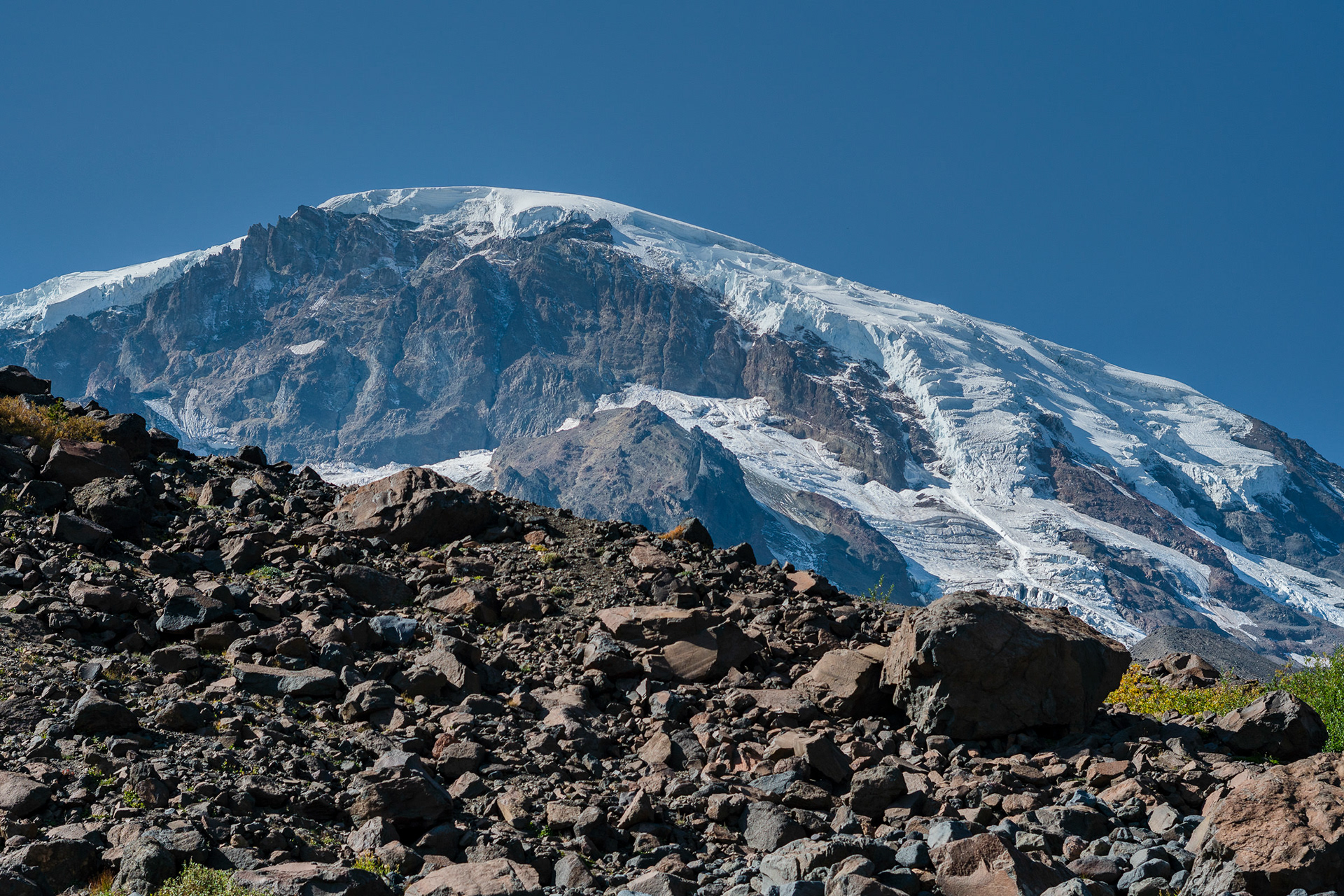
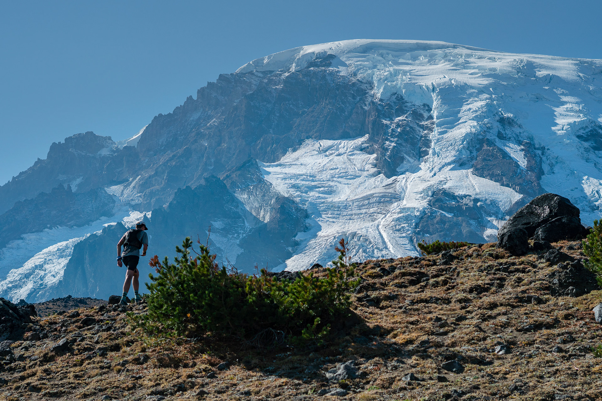
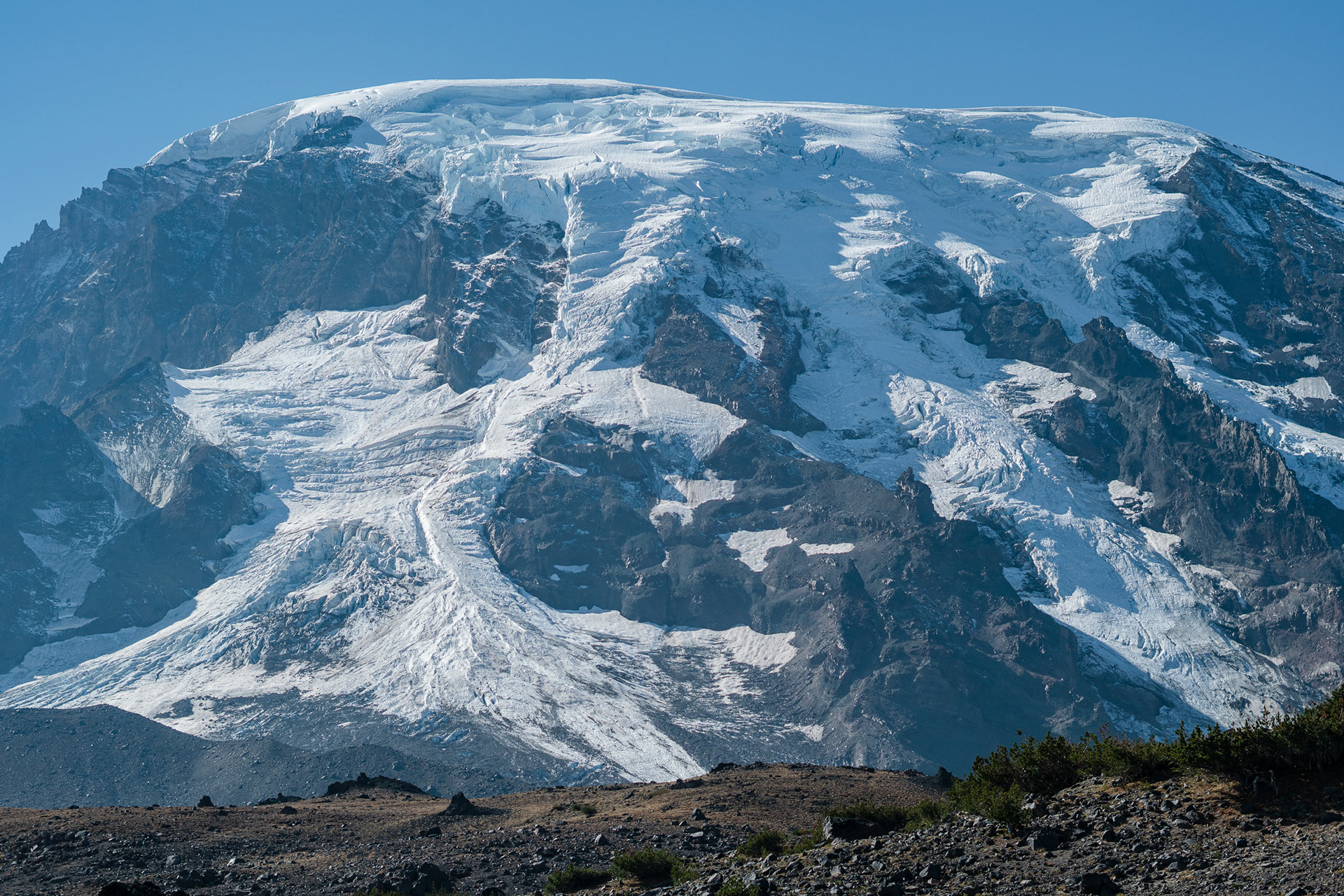
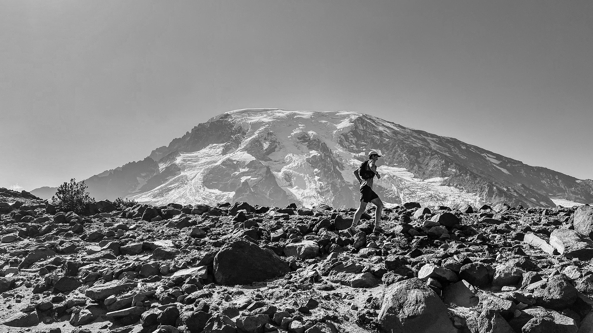
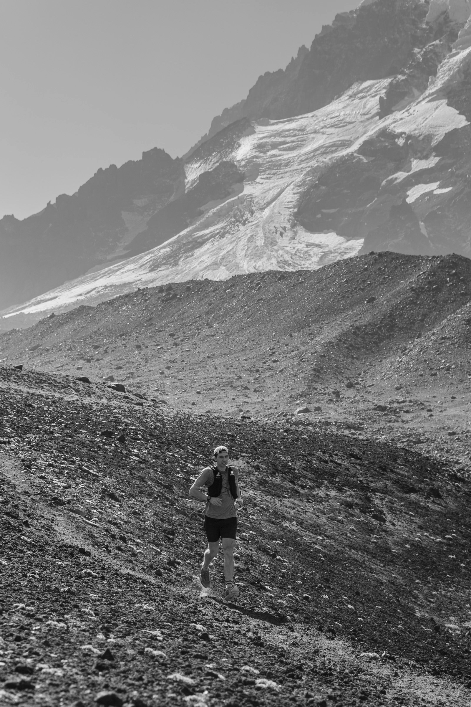
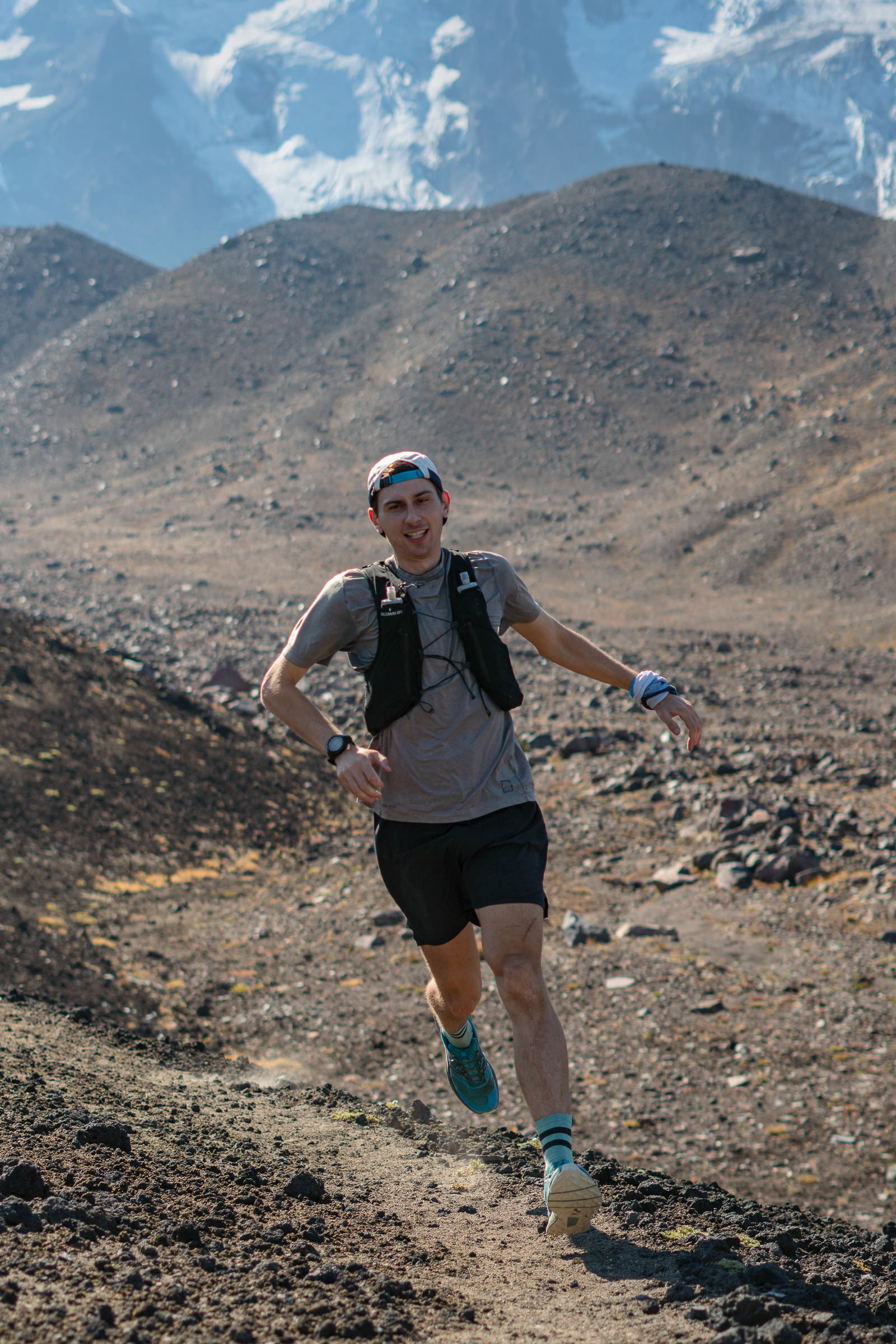
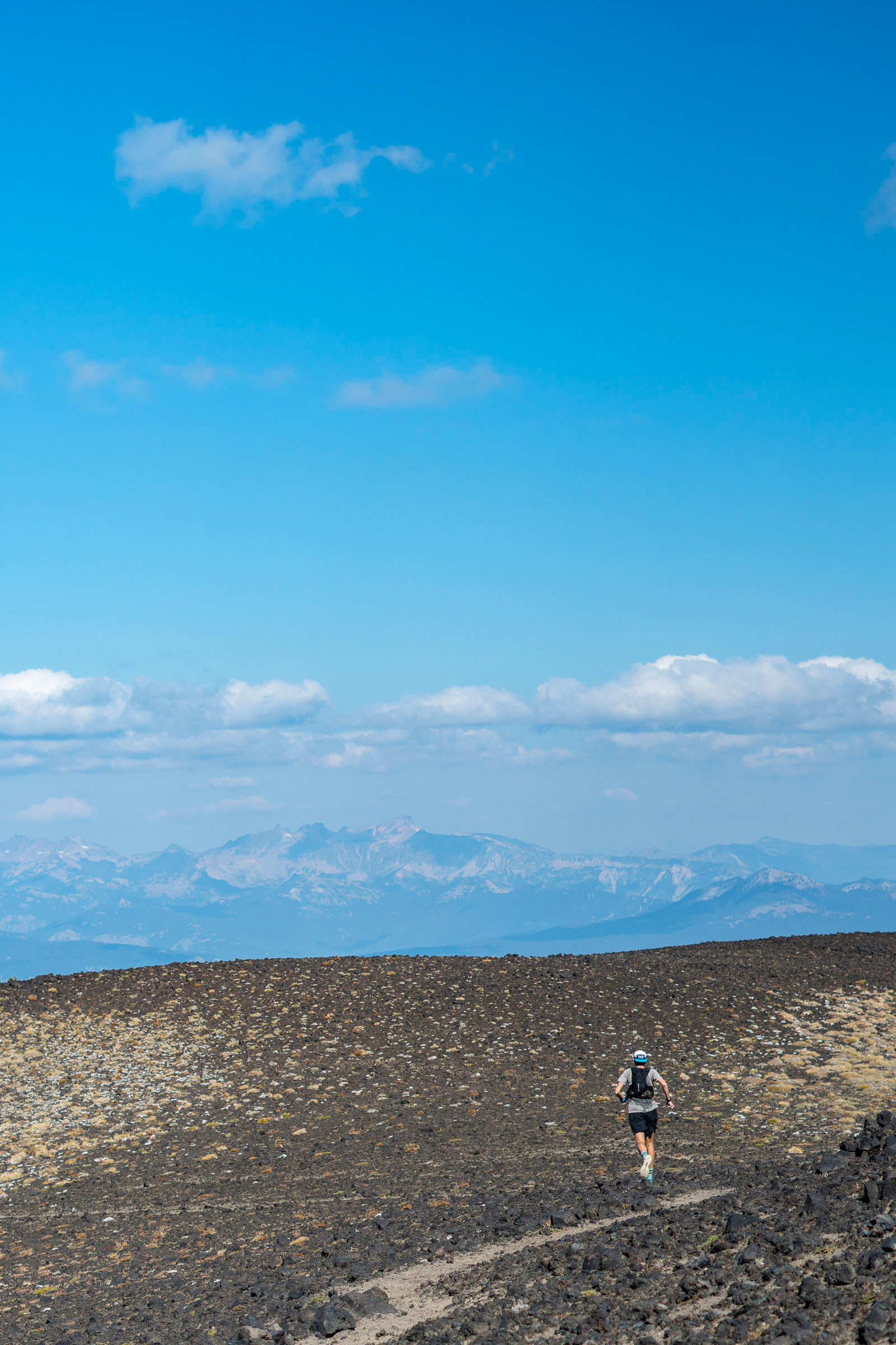
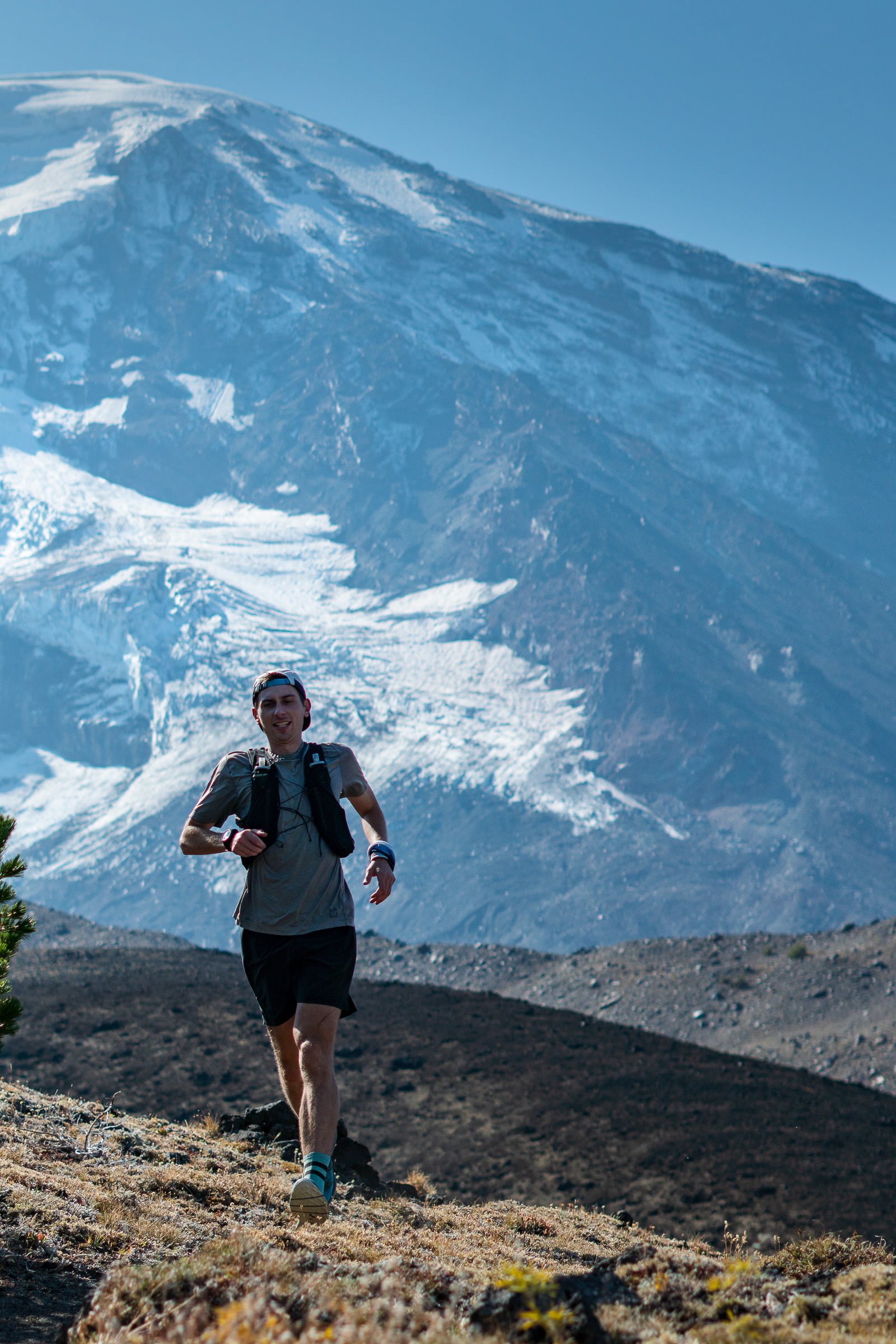
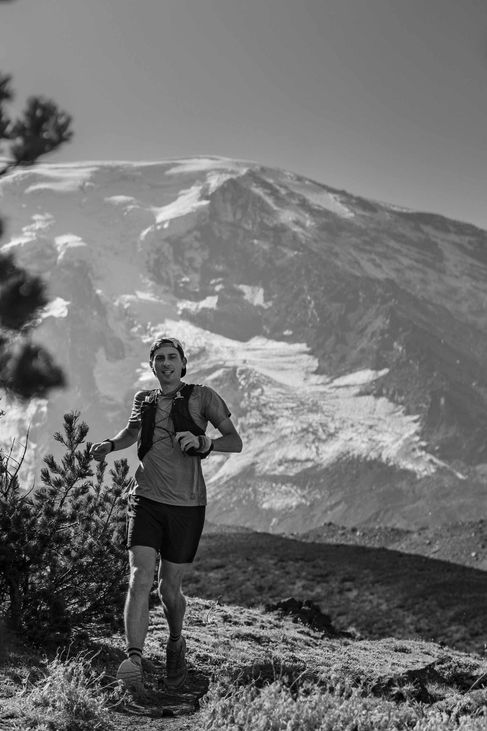
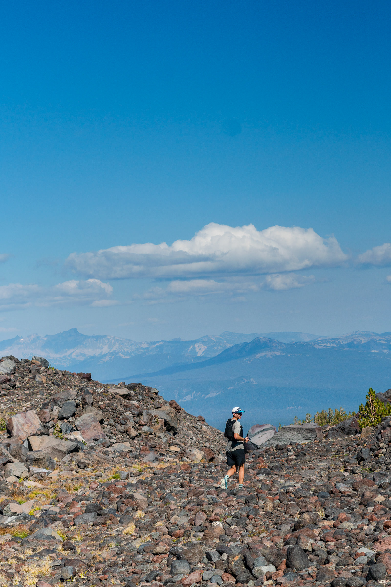
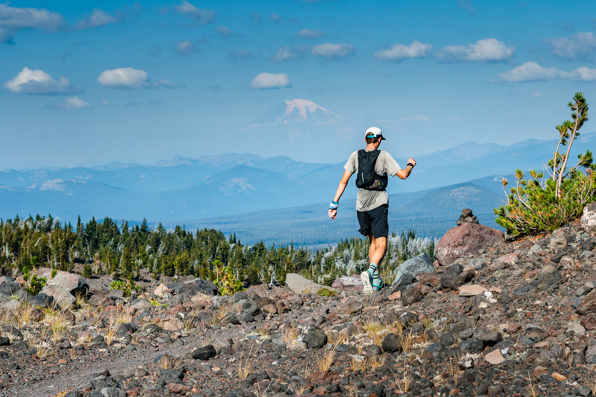
The stair steps of the Wilson glacier icefall came into view as we rounded the north eastern corner and ascended to our highpoint of the day at 8,000 feet. Here the terrain was desolate and barren despite having returned to trail and it remained difficult to navigate. Our slow pace continued until halfway round at the northern most point of the circumnavigation. The trail smoothed with the return of trees as the Highline Trail became the Pacific Crest Trail, merging again with the Round The Mountain Trail. The running was easier and my surroundings prettier. It felt like I was inside one of a Bill Watterson's Sunday comics, his brush painting the blues of the September sky bluer alongside the vivid autumnal yellows, oranges and reds of the vine maples and huckleberries.
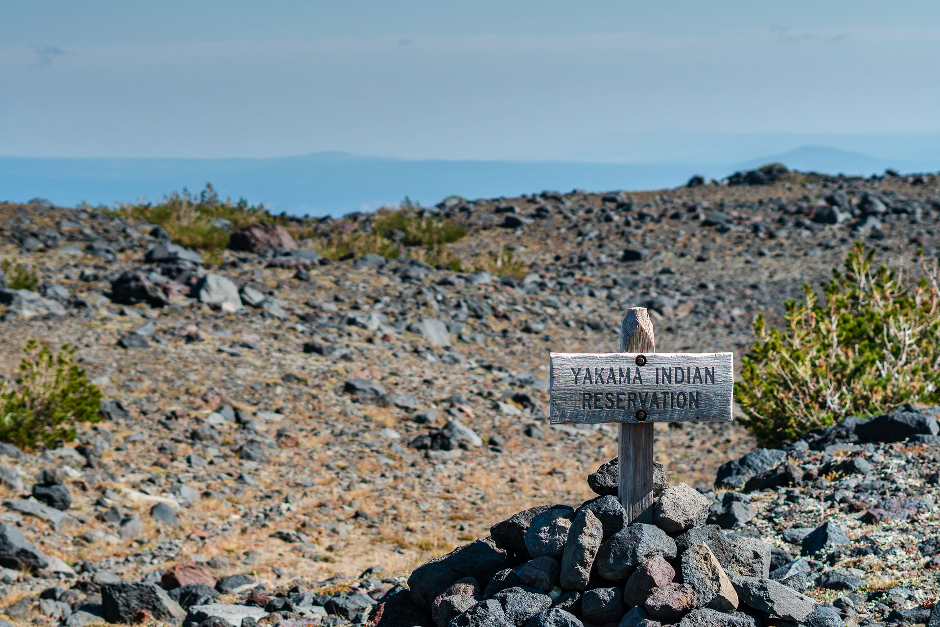
This run took place under permit with permission from the Yakima Nation tribe.